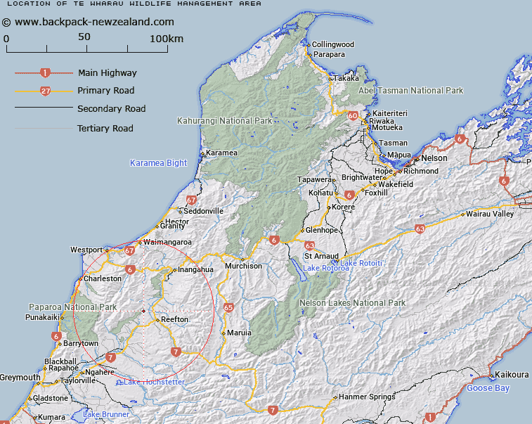
Map showing location of Te Wharau Wildlife Management Area
LINZ description: State Forest, Pt Sec 12 Blk XIII REEFTON SURVEY DISTRICT, Was 1947 p.1430
Latitude: -42.069167
Longitude: 171.784722
Northing: 5341829.8
Easting: 1499461.9
Land District: Nelson
Feat Type: Wildlife Management Area
Latitude: -42.069167
Longitude: 171.784722
Northing: 5341829.8
Easting: 1499461.9
Land District: Nelson
Feat Type: Wildlife Management Area

Scroll down to see a more detailed road map and below that a topographical map showing the location of Te Wharau Wildlife Management Area. The road map has been supplied by openstreetmap and the topographical map of Te Wharau Wildlife Management Area has been supplied by Land Information New Zealand (LINZ).
Yes you can use the top static map for you school/university project or personal website with a link back. Contact me for any commercial use.
[ A ] [ B ] [ C ] [ D ] [ E ] [ F ] [ G ] [ H ] [ I ] [ J ] [ K ] [ L ] [ M ] [ N ] [ O ] [ P ] [ Q ] [ R ] [ S ] [ T ] [ U ] [ V ] [ W ] [ X ] [ Y ] [ Z ]