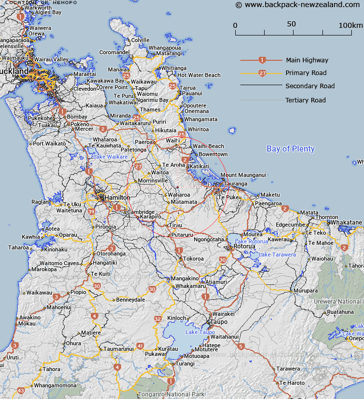
Map showing location of Hemopo
LINZ description: For location of railway crossing loop at the western end of the Kaimai Tunnel then under construction, situated in Block X, Wairere Survey District
Latitude: -37.700572
Longitude: 175.843619
Northing: 5823600
Easting: 1850700
Land District: South Auckland
Feat Type: Railway Crossing
Latitude: -37.700572
Longitude: 175.843619
Northing: 5823600
Easting: 1850700
Land District: South Auckland
Feat Type: Railway Crossing

Scroll down to see a more detailed road map and below that a topographical map showing the location of Hemopo. The road map has been supplied by openstreetmap and the topographical map of Hemopo has been supplied by Land Information New Zealand (LINZ).
Yes you can use the top static map for you school/university project or personal website with a link back. Contact me for any commercial use.
[ A ] [ B ] [ C ] [ D ] [ E ] [ F ] [ G ] [ H ] [ I ] [ J ] [ K ] [ L ] [ M ] [ N ] [ O ] [ P ] [ Q ] [ R ] [ S ] [ T ] [ U ] [ V ] [ W ] [ X ] [ Y ] [ Z ]