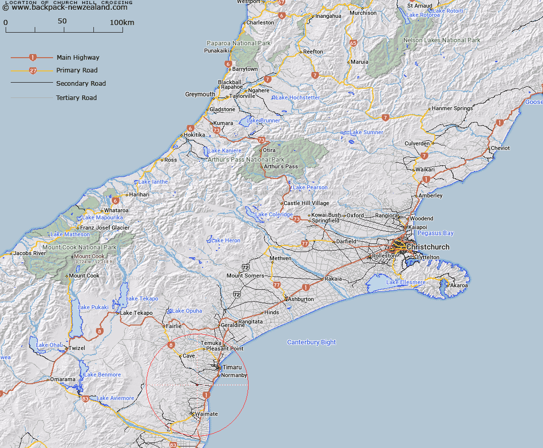
Map showing location of Church Hill Crossing
LINZ description: Historically known river crossing on the Otaio River just north of Esk Valley locality.
Latitude: -44.518904
Longitude: 171.082704
Northing: 5068703.2
Easting: 1447628
Land District: Canterbury
Feat Type: Railway Crossing
Latitude: -44.518904
Longitude: 171.082704
Northing: 5068703.2
Easting: 1447628
Land District: Canterbury
Feat Type: Railway Crossing

Scroll down to see a more detailed road map and below that a topographical map showing the location of Church Hill Crossing. The road map has been supplied by openstreetmap and the topographical map of Church Hill Crossing has been supplied by Land Information New Zealand (LINZ).
Yes you can use the top static map for you school/university project or personal website with a link back. Contact me for any commercial use.
[ A ] [ B ] [ C ] [ D ] [ E ] [ F ] [ G ] [ H ] [ I ] [ J ] [ K ] [ L ] [ M ] [ N ] [ O ] [ P ] [ Q ] [ R ] [ S ] [ T ] [ U ] [ V ] [ W ] [ X ] [ Y ] [ Z ]