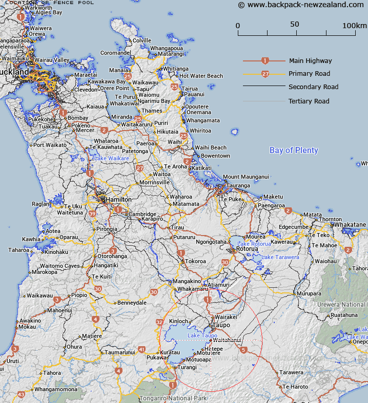
Map showing location of Fence Pool


LINZ description: Fishing pool on Waitahanui River
Latitude: -38.787743
Longitude: 176.080192
Northing: 5702270
Easting: 1867542.3
Land District: South Auckland
Feat Type: Stream


Scroll down to see a more detailed road map and below that a topographical map showing the location of Fence Pool. The road map has been supplied by openstreetmap and the topographical map of Fence Pool has been supplied by Land Information New Zealand (LINZ).

Yes you can use the top static map for you school/university project or personal website with a link back. Contact me for any commercial use.

Fence Pool Map New Zealand


New Zealand places in our database
[ A ] [ B ] [ C ] [ D ] [ E ] [ F ] [ G ] [ H ] [ I ] [ J ] [ K ] [ L ] [ M ] [ N ] [ O ] [ P ] [ Q ] [ R ] [ S ] [ T ] [ U ] [ V ] [ W ] [ X ] [ Y ] [ Z ]


Closest 20 Streams to Fence Pool

Fence Pool ( 0km )   Ladies Pool ( 0.13km )   Schoolmasters Pool ( 0.2km )   Cliff Pool ( 0.24km )   The Parade ( 0.4km )   The Straight ( 0.41km )   Groyne Pool ( 0.48km )   Washerwoman Pool ( 0.49km )   The Rip ( 0.56km )   Mill Pool ( 0.72km )   Totara Bridge Pool ( 0.88km )   Murphys Ruin ( 0.96km )   The Pig Pool ( 1.17km )   Whirl Pool ( 1.21km )   Reids Corner ( 1.32km )   Butlers Bend ( 1.45km )   Murrays Mistake ( 1.52km )   Gordon Williams Pool ( 1.6km )   Mangamutu Stream (lower) ( 1.82km )   Waioratene Stream ( 1.89km )   Mangakara Stream ( 2.51km )   Whangaerorohea Outlet ( 2.77km )   Waitahanui River ( 4.73km )   Mangamutu Stream (upper) ( 4.85km )   Te Arero Stream ( 8.4km )   Te Kirikiri Stream ( 9.01km )   Mangakahakaha Stream ( 9.32km )   Anopungapunga Stream ( 9.54km )   Hinemaiaia River ( 9.58km )   Te Hinau Stream ( 9.93km )   Tangihamutu Stream ( 10.17km )   Waipahihi Stream ( 10.36km )   Pekanui Stream ( 10.53km )   Waitotara Stream ( 10.96km )   Pahikohuru Stream ( 11.69km )   Kakapo Stream ( 11.72km )   Wairere Stream ( 12.01km )   Tapapakuau Stream ( 12.85km )   Kahukiri Stream ( 13.08km )   Waikotero Stream ( 13.19km )