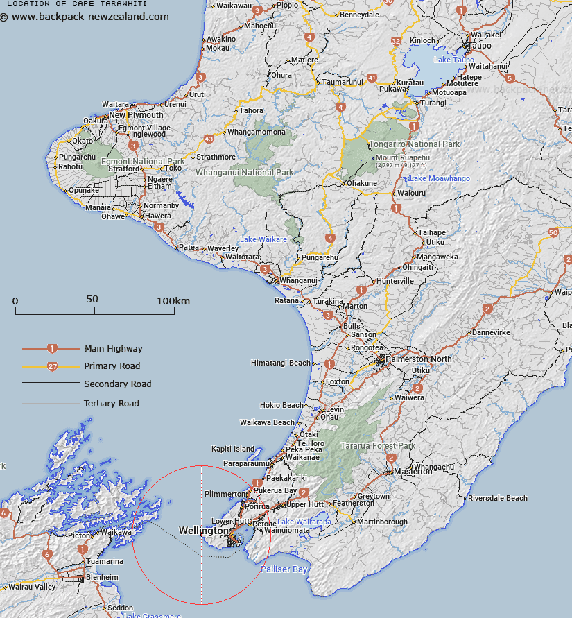
Map showing location of Cape Tarawhiti
LINZ description: Correct spelling Tarawhiti, but Terawhiti adopted
Latitude: -41.284543
Longitude: 174.613322
Northing: 5428400
Easting: 1735100
Land District: Wellington
Feat Type: Cape
Latitude: -41.284543
Longitude: 174.613322
Northing: 5428400
Easting: 1735100
Land District: Wellington
Feat Type: Cape

Scroll down to see a more detailed road map and below that a topographical map showing the location of Cape Tarawhiti. The road map has been supplied by openstreetmap and the topographical map of Cape Tarawhiti has been supplied by Land Information New Zealand (LINZ).
Yes you can use the top static map for you school/university project or personal website with a link back. Contact me for any commercial use.
[ A ] [ B ] [ C ] [ D ] [ E ] [ F ] [ G ] [ H ] [ I ] [ J ] [ K ] [ L ] [ M ] [ N ] [ O ] [ P ] [ Q ] [ R ] [ S ] [ T ] [ U ] [ V ] [ W ] [ X ] [ Y ] [ Z ]