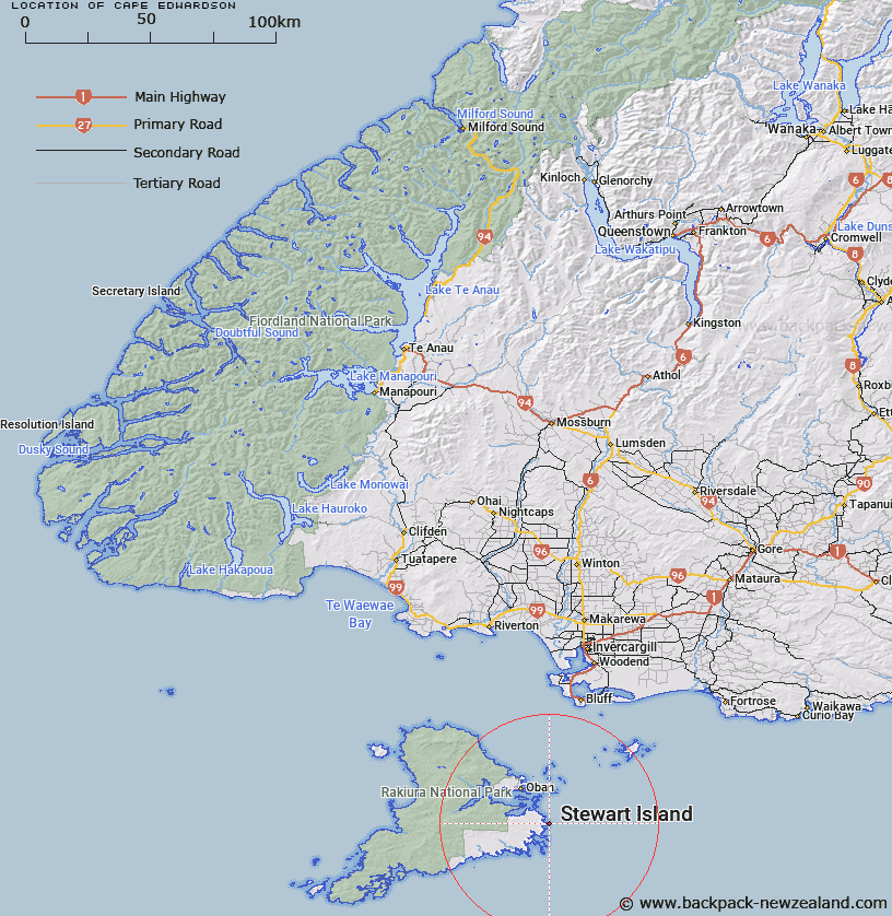
Map showing location of Cape Edwardson
LINZ description: Feature shown on: NZMS260-E49 470442; Infomap 346-02 Te Wai Pounamu Edition 1 1995; NZTopo50-CJ10 374821
Latitude: -47.015116
Longitude: 168.229288
Northing: 4782101.6
Easting: 1237435.5
Land District: Southland
Feat Type: Cape
Latitude: -47.015116
Longitude: 168.229288
Northing: 4782101.6
Easting: 1237435.5
Land District: Southland
Feat Type: Cape

Scroll down to see a more detailed road map and below that a topographical map showing the location of Cape Edwardson. The road map has been supplied by openstreetmap and the topographical map of Cape Edwardson has been supplied by Land Information New Zealand (LINZ).
Yes you can use the top static map for you school/university project or personal website with a link back. Contact me for any commercial use.
[ A ] [ B ] [ C ] [ D ] [ E ] [ F ] [ G ] [ H ] [ I ] [ J ] [ K ] [ L ] [ M ] [ N ] [ O ] [ P ] [ Q ] [ R ] [ S ] [ T ] [ U ] [ V ] [ W ] [ X ] [ Y ] [ Z ]