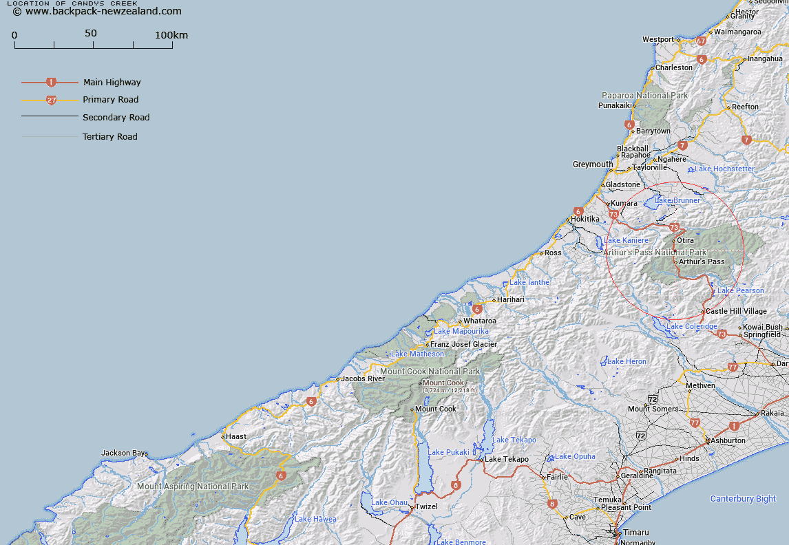
Map showing location of Candys Creek
LINZ description: Right bank tributary of Otira River rising 300m West of Hills Peak [Trig. MO (Geodetic Code ANX3)], flowing westward and joining Otira River 3km North of Arthur's Pass. Block XIV, Otira Survey District.
Latitude: -42.881599
Longitude: 171.561921
Northing: 5251330.3
Easting: 1482558.8
Land District: Westland
Feat Type: Stream
Latitude: -42.881599
Longitude: 171.561921
Northing: 5251330.3
Easting: 1482558.8
Land District: Westland
Feat Type: Stream

Scroll down to see a more detailed road map and below that a topographical map showing the location of Candys Creek. The road map has been supplied by openstreetmap and the topographical map of Candys Creek has been supplied by Land Information New Zealand (LINZ).
Yes you can use the top static map for you school/university project or personal website with a link back. Contact me for any commercial use.
[ A ] [ B ] [ C ] [ D ] [ E ] [ F ] [ G ] [ H ] [ I ] [ J ] [ K ] [ L ] [ M ] [ N ] [ O ] [ P ] [ Q ] [ R ] [ S ] [ T ] [ U ] [ V ] [ W ] [ X ] [ Y ] [ Z ]