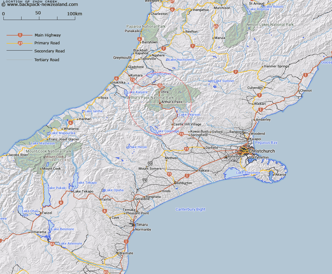
Map showing location of Snow Creek


LINZ description: Stream flowing easterly into Bealy River, 400m upstream of Brett Stream. Bealey Survey District.
Latitude: -42.959554
Longitude: 171.567365
Northing: 5242681
Easting: 1483150.8
Land District: Canterbury
Feat Type: Stream


Scroll down to see a more detailed road map and below that a topographical map showing the location of Snow Creek. The road map has been supplied by openstreetmap and the topographical map of Snow Creek has been supplied by Land Information New Zealand (LINZ).

Yes you can use the top static map for you school/university project or personal website with a link back. Contact me for any commercial use.

Snow Creek Map New Zealand


New Zealand places in our database
[ A ] [ B ] [ C ] [ D ] [ E ] [ F ] [ G ] [ H ] [ I ] [ J ] [ K ] [ L ] [ M ] [ N ] [ O ] [ P ] [ Q ] [ R ] [ S ] [ T ] [ U ] [ V ] [ W ] [ X ] [ Y ] [ Z ]


Closest 20 Streams to Snow Creek

Bretts Stream ( 0.82km )   Graham Stream ( 1.31km )   Rough Creek ( 1.71km )   Halpin Creek ( 2.15km )   Avalanche Creek ( 2.2km )   Wardens Creek ( 2.93km )   Mingha River ( 3.28km )   Greyneys Creek ( 3.41km )   Bridal Veil Creek ( 3.65km )   Devils Punchbowl Creek ( 3.7km )   McGrath Creek ( 4.14km )   Crow River ( 4.82km )   Edwards River ( 5.14km )   Agility Creek ( 5.18km )   Bealey River ( 5.44km )   Upper Twin Creek ( 6.05km )   Sawmill Stream ( 6.79km )   East Branch Edwards River ( 6.83km )   Pegleg Creek ( 7.19km )   Otira River ( 7.27km )   Curtis Creek ( 8.25km )   Jordan Stream ( 8.47km )   Kea Creek ( 8.51km )   Candys Creek ( 8.68km )   Power Stream ( 8.89km )   Little Jordan Stream ( 8.93km )   Reid Falls ( 9.02km )   Park Creek ( 9.16km )   Starvation Point ( 9.25km )   Bruce Stream ( 9.33km )   Hodge Creek ( 9.39km )   Windy Point ( 9.46km )   Douglas Stream ( 9.6km )   Dorreen Creek ( 9.77km )   Doreen Creek ( 9.77km )   Greenlaw Creek ( 10km )   Campbell Creek ( 10.1km )   Good Luck Creek ( 10.13km )   Anti Crow River ( 10.26km )   Wesley Creek ( 10.46km )