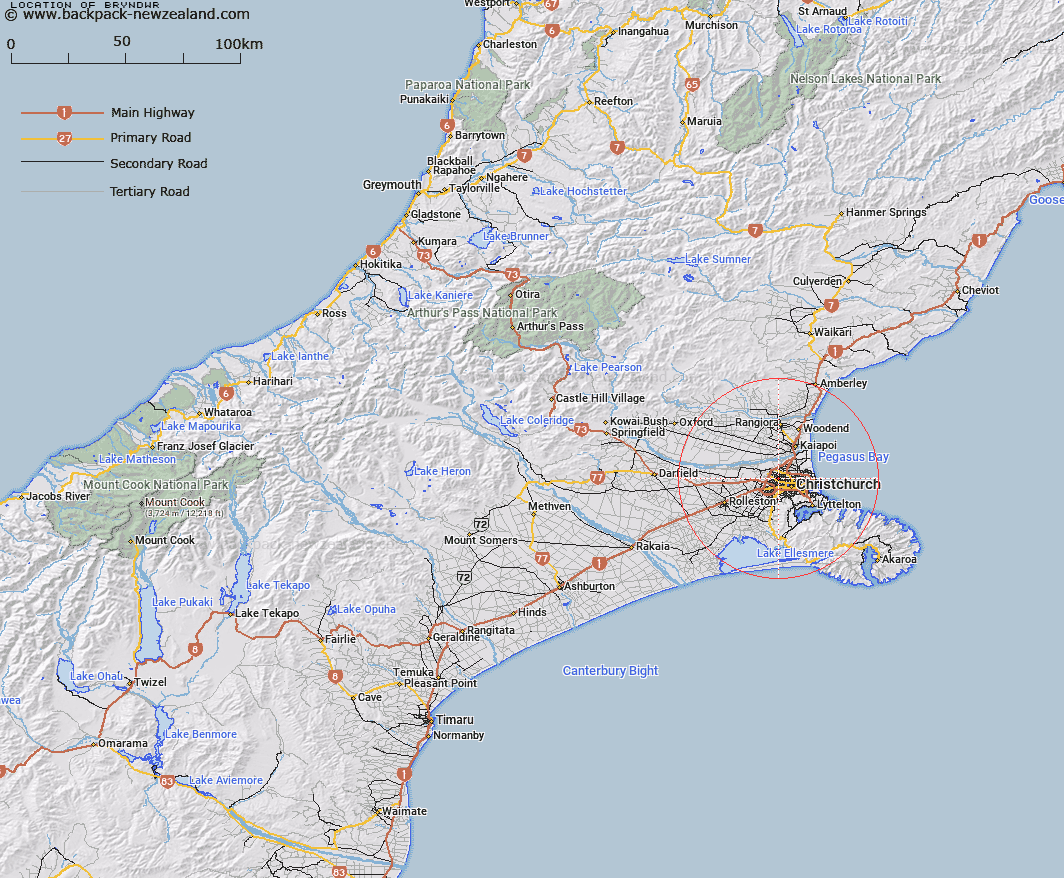
Map showing location of Bryndwr


LINZ description: Suburb of Christchurch city between Papanui and Fendalton.
Latitude: -43.504292
Longitude: 172.589305
Northing: 5183100
Easting: 1566800
Land District: Canterbury
Feat Type: Locality


Scroll down to see a more detailed road map and below that a topographical map showing the location of Bryndwr. The road map has been supplied by openstreetmap and the topographical map of Bryndwr has been supplied by Land Information New Zealand (LINZ).

Yes you can use the top static map for you school/university project or personal website with a link back. Contact me for any commercial use.

Bryndwr Map New Zealand


New Zealand places in our database
[ A ] [ B ] [ C ] [ D ] [ E ] [ F ] [ G ] [ H ] [ I ] [ J ] [ K ] [ L ] [ M ] [ N ] [ O ] [ P ] [ Q ] [ R ] [ S ] [ T ] [ U ] [ V ] [ W ] [ X ] [ Y ] [ Z ]


Closest 20 Localitys to Bryndwr

Yaldhurst ( 6.55km )   Marshland ( 6.57km )   Belfast ( 7.31km )   Ouruhia ( 8.42km )   Westmorland ( 8.59km )   Coutts Island ( 9km )   Chaneys ( 9.34km )   McLeans Island ( 10.21km )   Eyreton ( 10.56km )   Prebbleton ( 10.57km )   Bridgend ( 10.8km )   Templeton ( 10.83km )   Ferrymead ( 11.2km )   Clarkville ( 11.36km )   Spencerville ( 11.66km )   Lansdowne ( 12.25km )   Taukahara ( 12.28km )   Rapaki ( 13.24km )   Stewarts Gully ( 13.25km )   Ladbrooks ( 13.36km )   Stewarts Gully ( 13.6km )   Cass Bay ( 13.83km )   Ohapuku ( 13.99km )   Kaiapoi ( 14.43km )   Brooklands ( 14.49km )   Governors Bay ( 14.58km )   Mandeville North ( 14.59km )   Broadfield ( 14.76km )   Wetheral ( 15.12km )   Ohinetahi ( 15.22km )   Weedons ( 15.27km )   Ohoka ( 15.69km )   Allandale ( 15.75km )   Kairaki ( 16.11km )   Swannanoa ( 16.36km )   Te Awaparahi ( 16.41km )   The Pines Beach ( 16.84km )   Flaxton ( 16.9km )   Lincoln ( 17.23km )   Te Onepoto/Taylors Mistake ( 17.43km )