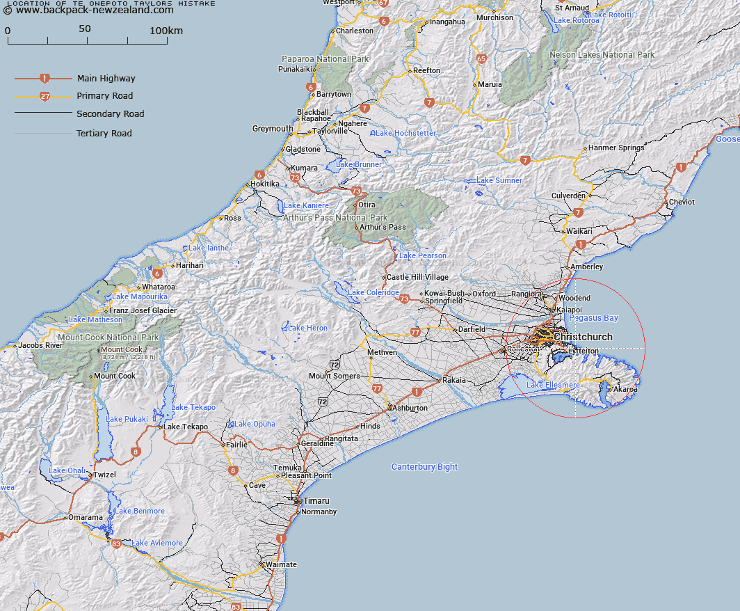
Map showing location of Te Onepoto/Taylors Mistake


LINZ description: Maori name for Taylors Mistake
Latitude: -43.583046
Longitude: 172.776345
Northing: 5174411.3
Easting: 1581943.6
Land District: Canterbury
Feat Type: Locality


Scroll down to see a more detailed road map and below that a topographical map showing the location of Te Onepoto/Taylors Mistake. The road map has been supplied by openstreetmap and the topographical map of Te Onepoto/Taylors Mistake has been supplied by Land Information New Zealand (LINZ).

Yes you can use the top static map for you school/university project or personal website with a link back. Contact me for any commercial use.
Te Onepoto/Taylors Mistake Map New Zealand


New Zealand places in our database
[ A ] [ B ] [ C ] [ D ] [ E ] [ F ] [ G ] [ H ] [ I ] [ J ] [ K ] [ L ] [ M ] [ N ] [ O ] [ P ] [ Q ] [ R ] [ S ] [ T ] [ U ] [ V ] [ W ] [ X ] [ Y ] [ Z ]


Closest 20 Localitys to Te Onepoto/Taylors Mistake

Te Awaparahi ( 3.85km )   Ferrymead ( 6.26km )   Diamond Harbour ( 6.32km )   Purau ( 6.59km )   Cass Bay ( 7.13km )   Rapaki ( 8.17km )   Puari ( 8.86km )   Charteris Bay ( 9.21km )   Taukahara ( 9.71km )   Governors Bay ( 10.96km )   Ohinetahi ( 12.01km )   Allandale ( 12.15km )   Teddington ( 13.25km )   Westmorland ( 14.01km )   Pigeon Bay ( 15.15km )   Marshland ( 15.33km )   Lansdowne ( 16.89km )   Bryndwr ( 17.43km )   Kukupa ( 17.93km )   Spencerville ( 17.97km )   Kaituna Valley ( 17.98km )   Ouruhia ( 18.01km )   Gebbies Valley ( 18.28km )   Puaha ( 18.52km )   Belfast ( 19.03km )   Cooptown ( 19.36km )   Chaneys ( 19.59km )   Hill Top ( 19.66km )   Hilltop ( 19.66km )   Ladbrooks ( 20.03km )   Little Akaloa ( 20.04km )   Little Akaroa ( 20.04km )   Taitapu ( 20.28km )   Tai Tapu ( 20.28km )   Bridgend ( 20.87km )   Little River ( 20.98km )   Coutts Island ( 21.28km )   Prebbleton ( 21.29km )   Brooklands ( 21.42km )   Stewarts Gully ( 21.8km )