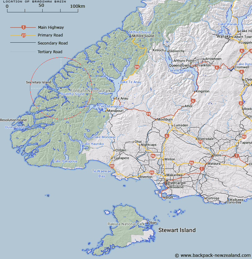
Map showing location of Bradshaw Basin


LINZ description: A depression in the sea floor, trending west-east, descending to a maximum depth of 423m, and located along the length of Bradshaw Sound, an arm within Doubtful Sound / Patea, Fiordland.
Latitude: -45.289241
Longitude: 167.056726
Northing: 4967708.9
Easting: 1133950.3
Land District: Southland
Feat Type: Basin


Scroll down to see a more detailed road map and below that a topographical map showing the location of Bradshaw Basin. The road map has been supplied by openstreetmap and the topographical map of Bradshaw Basin has been supplied by Land Information New Zealand (LINZ).

Yes you can use the top static map for you school/university project or personal website with a link back. Contact me for any commercial use.

Bradshaw Basin Map New Zealand


New Zealand places in our database
[ A ] [ B ] [ C ] [ D ] [ E ] [ F ] [ G ] [ H ] [ I ] [ J ] [ K ] [ L ] [ M ] [ N ] [ O ] [ P ] [ Q ] [ R ] [ S ] [ T ] [ U ] [ V ] [ W ] [ X ] [ Y ] [ Z ]


Closest 20 Basins to Bradshaw Basin

Bradshaw Basin ( 0km )   Seymour Basin ( 3.86km )   Malaspina Basin ( 6.58km )   Kellard Basin ( 7.51km )   Precipice Basin ( 7.63km )   Lyall Basin ( 8.9km )   Thompson Basin ( 8.9km )   Crooked Basin ( 10.18km )   Utah Basin ( 10.45km )   Grono Basin ( 10.59km )   Turn Basin ( 12.03km )   Deas Basin ( 12.34km )   Heel Basin ( 12.54km )   Shelter Basin ( 12.55km )   Haulashore Basin ( 13.92km )   Richards Basin ( 14.15km )   Bauza Basin ( 14.28km )   Nee Basin ( 14.28km )   Elizabeth Basin ( 14.51km )   Open Basin ( 14.75km )   Stokes Basin ( 15.55km )   Deep Basin ( 18.72km )   Acheron Basin ( 18.82km )   Hall Basin ( 19.99km )   Wanganella Basin ( 20.48km )   Schooner Basin ( 20.75km )   Otago Basin ( 21.61km )   Adieu Basin ( 21.74km )   Wilmot Basin ( 22.55km )   Secretary Basin ( 25.44km )   Nancy Basin ( 28.33km )   Walker Basin ( 31.06km )   Stillwater Basin ( 31.55km )   Marble Basin ( 31.91km )   Dagg Basin ( 39.67km )   Dagg Terrace ( 39.67km )   Looking Glass Basin ( 43.22km )   South-West Basin ( 44.35km )   Whitewater Basin ( 46.35km )   Elder Basin ( 51.68km )