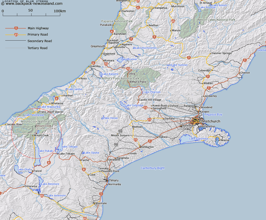
Map showing location of Blue Stream
LINZ description: Small tributary of Tasman River, commencing at the termination of Husky Stream, running South-westward along the eastern toe of Mount Cook Range, joining the Tasman River 1.6km upstream of the main Tasman/ Hooker River junction. Block XIII Cook, Blocks I and V Cass and Blocks X and XIV Mueller Survey Districts.
Latitude: -43.700311
Longitude: 170.156663
Northing: 5157482.9
Easting: 1370889.3
Land District: Canterbury
Feat Type: Stream
Latitude: -43.700311
Longitude: 170.156663
Northing: 5157482.9
Easting: 1370889.3
Land District: Canterbury
Feat Type: Stream

Scroll down to see a more detailed road map and below that a topographical map showing the location of Blue Stream. The road map has been supplied by openstreetmap and the topographical map of Blue Stream has been supplied by Land Information New Zealand (LINZ).
Yes you can use the top static map for you school/university project or personal website with a link back. Contact me for any commercial use.
[ A ] [ B ] [ C ] [ D ] [ E ] [ F ] [ G ] [ H ] [ I ] [ J ] [ K ] [ L ] [ M ] [ N ] [ O ] [ P ] [ Q ] [ R ] [ S ] [ T ] [ U ] [ V ] [ W ] [ X ] [ Y ] [ Z ]