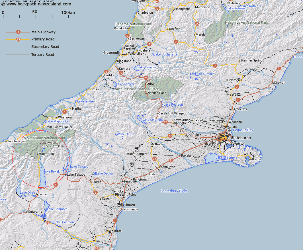
Map showing location of Black Point


LINZ description: Point on eastern side of Tasman River, due West of Mount Burnett in the Burnett Mountains. 500m South-west of Trig. L (Geodetic Code A9A2). Block X Cass Survey District.
Latitude: -43.798387
Longitude: 170.149086
Northing: 5146568.6
Easting: 1370653.8
Land District: Canterbury
Feat Type: Point


Scroll down to see a more detailed road map and below that a topographical map showing the location of Black Point. The road map has been supplied by openstreetmap and the topographical map of Black Point has been supplied by Land Information New Zealand (LINZ).

Yes you can use the top static map for you school/university project or personal website with a link back. Contact me for any commercial use.

Black Point Map New Zealand


New Zealand places in our database
[ A ] [ B ] [ C ] [ D ] [ E ] [ F ] [ G ] [ H ] [ I ] [ J ] [ K ] [ L ] [ M ] [ N ] [ O ] [ P ] [ Q ] [ R ] [ S ] [ T ] [ U ] [ V ] [ W ] [ X ] [ Y ] [ Z ]


Closest 20 Points to Black Point

Tasman Point ( 2.73km )   Micks Point ( 4.86km )   Kea Point ( 12.17km )   Point Niccolo ( 12.73km )   Bloody Point ( 41.36km )   Makawhio Point ( 48.4km )   Galway Point ( 49.69km )   Otorokua Point ( 50.7km )   Gillespies Point ( 51.09km )   Gillespies Point/K?haihai ( 51.09km )   Heretaniwha Point ( 53.02km )   Buttress Point ( 56.69km )   Tititira Head ( 60.98km )   Canoe Point ( 62.84km )   Awataikato Point ( 64.13km )   Rehder Head ( 64.89km )   Piakatu Point ( 65.09km )   Burrough Head ( 68.71km )   Stoney Point ( 69.84km )   Otumotu Point ( 71.72km )   Commissioner Point ( 71.81km )   Knights Point ( 74.84km )   Arnott Point ( 75.94km )   Abut Head ( 77.25km )   Seal Point ( 77.28km )   Beachy Point ( 78.19km )   Woodcutters Point ( 78.82km )   Tauperikaka Point ( 80.48km )   Blue Point ( 80.54km )   Snapper Point ( 80.97km )   Turnagain Point ( 82.32km )   Black Jacks Point ( 82.43km )   Junction Point ( 83.63km )   Blowing Point ( 86.71km )   Wanganui Heads ( 87.39km )   Totara Point ( 93.48km )   Fossil Point ( 93.96km )   Windy Point ( 98.66km )   Rocky Point ( 99.36km )   Bushy Point ( 100.13km )