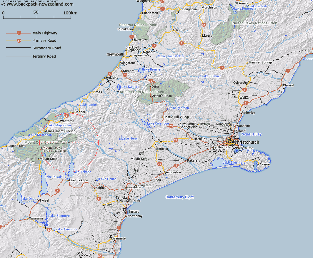
Map showing location of Bloody Point


LINZ description: Point on the eastern side of the Godley River bed. North of McKinnon Stream at the Godley River junction. Block II Godley Survey District.
Latitude: -43.526806
Longitude: 170.500409
Northing: 5177646.2
Easting: 1398008.3
Land District: Canterbury
Feat Type: Point


Scroll down to see a more detailed road map and below that a topographical map showing the location of Bloody Point. The road map has been supplied by openstreetmap and the topographical map of Bloody Point has been supplied by Land Information New Zealand (LINZ).

Yes you can use the top static map for you school/university project or personal website with a link back. Contact me for any commercial use.

Bloody Point Map New Zealand


New Zealand places in our database
[ A ] [ B ] [ C ] [ D ] [ E ] [ F ] [ G ] [ H ] [ I ] [ J ] [ K ] [ L ] [ M ] [ N ] [ O ] [ P ] [ Q ] [ R ] [ S ] [ T ] [ U ] [ V ] [ W ] [ X ] [ Y ] [ Z ]


Closest 20 Points to Bloody Point

Point Niccolo ( 38.96km )   Tasman Point ( 39.31km )   Kea Point ( 39.53km )   Canoe Point ( 39.6km )   Black Point ( 41.36km )   Rehder Head ( 43.93km )   Micks Point ( 44.29km )   Stoney Point ( 44.85km )   Burrough Head ( 45.42km )   Commissioner Point ( 47.1km )   Woodcutters Point ( 47.97km )   Beachy Point ( 48.77km )   Blue Point ( 49.12km )   Snapper Point ( 50km )   Abut Head ( 50.3km )   Galway Point ( 51.18km )   Totara Point ( 53.04km )   Wanganui Heads ( 55.12km )   Gillespies Point ( 55.13km )   Gillespies Point/K?haihai ( 55.13km )   Blowing Point ( 58.11km )   Otorokua Point ( 58.15km )   Blacksmith Point ( 64.45km )   Fossil Point ( 66.92km )   Makawhio Point ( 68.62km )   Cookies Point ( 75.26km )   Heretaniwha Point ( 76.39km )   Buttress Point ( 82.34km )   Tititira Head ( 86.99km )   Hobart Point ( 87.59km )   Picnic Point ( 88.52km )   Awataikato Point ( 90.9km )   Piakatu Point ( 92.24km )   Rocky Point/Tauotikirangi ( 92.7km )   Rocky Point ( 92.7km )   Otumotu Point ( 100.97km )   Knights Point ( 104.75km )   Arnott Point ( 106.08km )   Seal Point ( 107.77km )   Tauperikaka Point ( 111.71km )