Map showing location of Bay Burn


LINZ description: Feature shown on: NZMS260 F39
Latitude: -44.390585
Longitude: 169.095013
Northing: 5077324
Easting: 1288976.9
Land District: Otago
Feat Type: Stream


Scroll down to see a more detailed road map and below that a topographical map showing the location of Bay Burn. The road map has been supplied by openstreetmap and the topographical map of Bay Burn has been supplied by Land Information New Zealand (LINZ).

Yes you can use the top static map for you school/university project or personal website with a link back. Contact me for any commercial use.
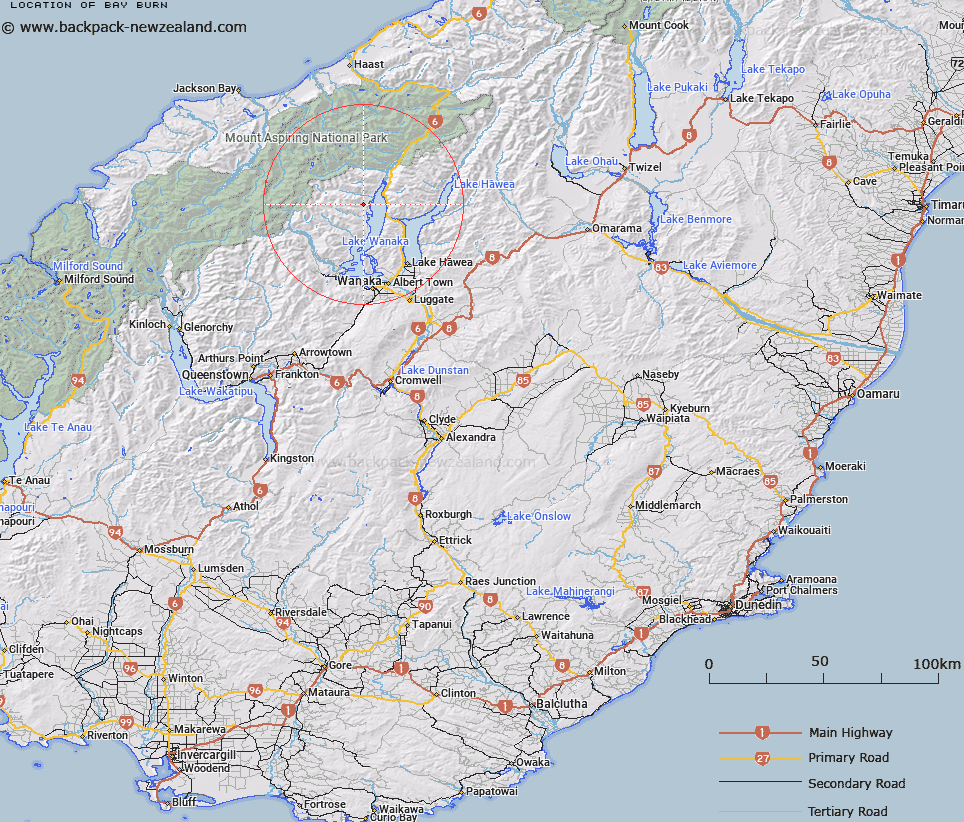
Bay Burn Map New Zealand


New Zealand places in our database
[ A ] [ B ] [ C ] [ D ] [ E ] [ F ] [ G ] [ H ] [ I ] [ J ] [ K ] [ L ] [ M ] [ N ] [ O ] [ P ] [ Q ] [ R ] [ S ] [ T ] [ U ] [ V ] [ W ] [ X ] [ Y ] [ Z ]


Closest 20 Streams to Bay Burn

Rambling Burn ( 2.19km )   Rough Burn ( 2.62km )   Estuary Burn ( 6.53km )   Albert Burn ( 8.03km )   Boundary Creek ( 8.28km )   Sheepskin Creek ( 8.29km )   Waterfall Creek ( 8.29km )   Bells Creek ( 8.63km )   Craigie Burn ( 9.04km )   Camp Creek ( 9.44km )   The Neck Creek ( 11.02km )   Waterfall Creek ( 11.46km )   Wharf Creek ( 11.46km )   Minaret Burn ( 12.22km )   Slip Creek ( 12.63km )   First Creek ( 13.05km )   ?turaki Creek ( 13.09km )   Halls Creek ( 13.1km )   Kidds Creek ( 13.2km )   Flaxmill Creek ( 13.26km )   Starvation Creek ( 13.67km )   Boil the Billy Creek ( 13.83km )   Sawyer Burn ( 14.08km )   Dinner Creek ( 14.6km )   Cemetery Creek ( 14.72km )   Boggy Creek ( 15.6km )   Terrace Creek South Branch ( 16.13km )   Bee Burn ( 16.52km )   Long Valley Creek ( 16.76km )   Terrace Creek ( 16.95km )   Wilkin River ( 17.13km )   Ewings Creek ( 17.32km )   Craig Burn ( 17.48km )   Bent Burn ( 18km )   Stony Creek ( 18.07km )   Fast Burn ( 18.43km )   Wonderland Stream ( 18.55km )   Rumbling Burn ( 18.72km )   Hester Pinney Creek ( 19.03km )   Hestor Pinney Creek ( 19.03km )