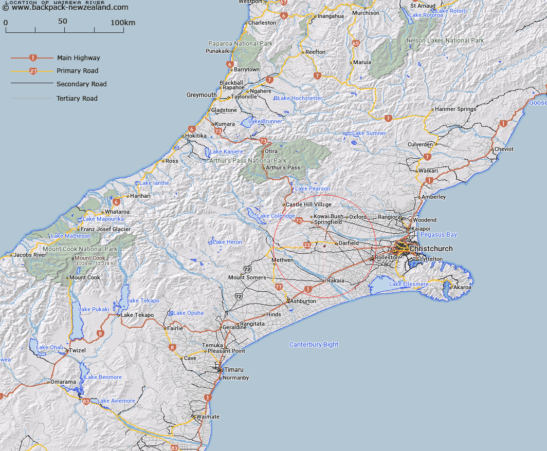
Map showing location of Waireka River


LINZ description: A tributary of Selywn River/ Waikirikiri, flowing almost parallel to Selwyn and joining near Greendale.
Latitude: -43.505356
Longitude: 172.022729
Northing: 5182600
Easting: 1521000
Land District: Canterbury
Feat Type: Stream


Scroll down to see a more detailed road map and below that a topographical map showing the location of Waireka River. The road map has been supplied by openstreetmap and the topographical map of Waireka River has been supplied by Land Information New Zealand (LINZ).

Yes you can use the top static map for you school/university project or personal website with a link back. Contact me for any commercial use.

Waireka River Map New Zealand


New Zealand places in our database
[ A ] [ B ] [ C ] [ D ] [ E ] [ F ] [ G ] [ H ] [ I ] [ J ] [ K ] [ L ] [ M ] [ N ] [ O ] [ P ] [ Q ] [ R ] [ S ] [ T ] [ U ] [ V ] [ W ] [ X ] [ Y ] [ Z ]


Closest 20 Streams to Waireka River

Blacks Stream ( 4.33km )   Cordys Stream ( 8.23km )   Wairiri Stream ( 11.15km )   Monro Stream ( 12.32km )   Steventon Stream ( 14.16km )   Flagpole Stream ( 14.78km )   Selwyn River/Waikirikiri ( 14.79km )   Selwyn River ( 14.79km )   Hall Stream ( 15.28km )   Glendore Stream ( 15.53km )   Hororata River ( 16.84km )   Waimakariri River ( 17.39km )   Irwell River ( 19.62km )   Boundary Stream ( 20.06km )   View Hill Stream ( 20.2km )   Ayrdale Stream ( 20.47km )   Copper Stream No. 2 ( 20.64km )   Rockwood Stream ( 21.35km )   Copper Stream ( 21.88km )   Washpen Creek ( 22.72km )   Hawkins River ( 22.72km )   Coopers Creek ( 24.77km )   Bush Stream ( 25.22km )   Mounseys Stream ( 25.24km )   Washpen Stream ( 25.24km )   Trout Stream ( 25.36km )   Thirteen Mile Bush Stream ( 25.44km )   Selwyn River North Branch ( 25.91km )   Rubicon River ( 26.13km )   White Stream ( 26.43km )   Gammans Creek ( 26.47km )   Little Kowai River ( 26.93km )   Eyre River ( 27.05km )   Boundary Stream ( 27.51km )   Joyces Stream ( 28.16km )   West Branch Coopers Creek ( 28.57km )   Parker Stream ( 29.08km )   Patterson Stream ( 29.31km )   Paterson Stream ( 29.31km )   Ford Stream ( 29.37km )