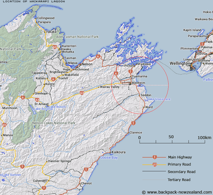
Map showing location of Waikārapi Lagoon
LINZ description: A lagoon between Upper Lagoon and Big Lagoon south of Te Pokohiwi / Boulder Bank approximately 11 km east of Blenheim. NZTopo50-BR29 904007.
Latitude: -41.5403
Longitude: 174.083805
Northing: 5400694.6
Easting: 1690401.9
Land District: Marlborough
Feat Type: Lake
Latitude: -41.5403
Longitude: 174.083805
Northing: 5400694.6
Easting: 1690401.9
Land District: Marlborough
Feat Type: Lake

Scroll down to see a more detailed road map and below that a topographical map showing the location of Waikārapi Lagoon. The road map has been supplied by openstreetmap and the topographical map of Waikārapi Lagoon has been supplied by Land Information New Zealand (LINZ).
Yes you can use the top static map for you school/university project or personal website with a link back. Contact me for any commercial use.
[ A ] [ B ] [ C ] [ D ] [ E ] [ F ] [ G ] [ H ] [ I ] [ J ] [ K ] [ L ] [ M ] [ N ] [ O ] [ P ] [ Q ] [ R ] [ S ] [ T ] [ U ] [ V ] [ W ] [ X ] [ Y ] [ Z ]