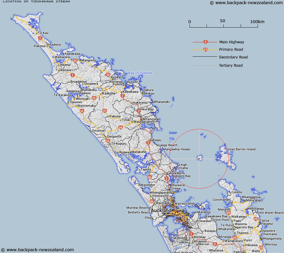
Map showing location of Tirikakawa Stream


LINZ description: Stream flowing south south-west to coast, 1.5km south-east of Te Titoki Point, Hauturu/Little Barrier Island.
Latitude: -36.213602
Longitude: 175.072193
Northing: 5990369
Easting: 1786269.3
Land District: North Auckland
Feat Type: Stream


Scroll down to see a more detailed road map and below that a topographical map showing the location of Tirikakawa Stream. The road map has been supplied by openstreetmap and the topographical map of Tirikakawa Stream has been supplied by Land Information New Zealand (LINZ).

Yes you can use the top static map for you school/university project or personal website with a link back. Contact me for any commercial use.

Tirikakawa Stream Map New Zealand


New Zealand places in our database
[ A ] [ B ] [ C ] [ D ] [ E ] [ F ] [ G ] [ H ] [ I ] [ J ] [ K ] [ L ] [ M ] [ N ] [ O ] [ P ] [ Q ] [ R ] [ S ] [ T ] [ U ] [ V ] [ W ] [ X ] [ Y ] [ Z ]


Closest 20 Streams to Tirikakawa Stream

Te Waikohare Stream ( 0.53km )   Hut Bay Creek ( 1.19km )   Waipawa Stream ( 1.38km )   Awaroa Stream ( 1.5km )   Lamb Bay Creek ( 1.52km )   Parihakoakoa Stream ( 1.53km )   Haowhenua Stream ( 1.84km )   Te Wairere Stream ( 2.28km )   Waimanga Creek ( 2.38km )   Hauruia Stream ( 2.64km )   Te Hue Stream ( 2.68km )   Kiriraukawa Stream ( 2.69km )   Whekau Stream ( 2.71km )   Waitoki Stream ( 3.01km )   Nehupo Stream ( 3.04km )   Ohakiri Stream ( 3.3km )   Waihoroipu Stream ( 3.34km )   Pohutukawa Stream ( 3.73km )   Tawaroa Stream ( 4.07km )   Wairahi River ( 25.81km )   Nimaru Stream ( 26.33km )   Coffins Creek ( 26.34km )   Kohuroa Stream ( 26.65km )   Onewhero Stream ( 26.84km )   Kawa Stream ( 27.93km )   Waimaru Stream ( 28.03km )   Coxhead Creek ( 28.07km )   Kaiarara Stream ( 28.27km )   Ahuriri Stream ( 28.29km )   Wyatts Stream ( 28.54km )   Wairahi Stream ( 28.63km )   Waitapu Stream ( 28.87km )   Pembroke Stream ( 29.53km )   Motairehe Stream ( 30.79km )   Waikokopu Creek ( 30.9km )   Pakiri Stream ( 31.16km )   Birdsalls Stream ( 31.2km )   Whangapoua Creek ( 31.31km )   Omaha River ( 31.51km )   Sunbeam Creek ( 31.65km )