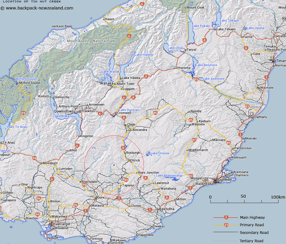
Map showing location of Tin Hut Creek


LINZ description: Tributary of Valley Creek which feeds the Pomahaka River.
Latitude: -45.690623
Longitude: 169.174272
Northing: 4933203.9
Easting: 1302123.5
Land District: Otago
Feat Type: Stream


Scroll down to see a more detailed road map and below that a topographical map showing the location of Tin Hut Creek. The road map has been supplied by openstreetmap and the topographical map of Tin Hut Creek has been supplied by Land Information New Zealand (LINZ).

Yes you can use the top static map for you school/university project or personal website with a link back. Contact me for any commercial use.

Tin Hut Creek Map New Zealand


New Zealand places in our database
[ A ] [ B ] [ C ] [ D ] [ E ] [ F ] [ G ] [ H ] [ I ] [ J ] [ K ] [ L ] [ M ] [ N ] [ O ] [ P ] [ Q ] [ R ] [ S ] [ T ] [ U ] [ V ] [ W ] [ X ] [ Y ] [ Z ]


Closest 20 Streams to Tin Hut Creek

Valley Creek ( 1.21km )   Wart Hill Creek ( 4.02km )   Thompsons Creek ( 5.32km )   South Twin Creek ( 6.1km )   Little Parasol Creek ( 6.13km )   Doakes Stream ( 6.64km )   North Twin Creek ( 6.89km )   Timber Creek ( 7.19km )   Camping Creek ( 7.36km )   Sandy Creek ( 7.6km )   McKay Creek ( 8.37km )   Gorge Creek ( 8.71km )   Parasol Creek ( 9.25km )   Campbells Creek ( 9.28km )   Jordan or Black Creek ( 10.42km )   Spylaw Burn ( 10.52km )   Archies Creek ( 10.69km )   Wash Creek ( 11.05km )   Benger Burn ( 12.79km )   Gem Creek ( 13.15km )   Benger Burn (South Branch) ( 13.3km )   Argyle Burn ( 13.49km )   Whitecoomb Creek ( 15km )   Swirl Burn ( 15.65km )   Laurel Creek ( 16.31km )   Black Jacks Creek ( 16.31km )   Leithen Burn ( 16.75km )   Sherwood Stream ( 16.84km )   Mill Creek ( 17.11km )   Bullock Creek ( 17.27km )   Anguilla Burn ( 17.36km )   Charcoal Creek ( 17.6km )   Judge Creek ( 17.72km )   Island Creek ( 18.8km )   Post Office Creek ( 18.89km )   Kittos Creek ( 19.93km )   Winding Creek ( 20.06km )   Cameron Stream ( 20.17km )   Heriot Burn ( 20.21km )   Crookston Burn ( 20.68km )