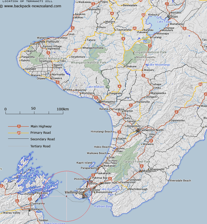
Map showing location of Terawhiti Sill
LINZ description: A narrow sill separating Narrows Basin in the north from Cook Strait Canyon in the south, west of Wellington peninsula. 200-250m deep.
Latitude: -41.316667
Longitude: 174.516667
Northing: 5424979.6
Easting: 1726943.5
Land District: Wellington
Feat Type: Sill
Latitude: -41.316667
Longitude: 174.516667
Northing: 5424979.6
Easting: 1726943.5
Land District: Wellington
Feat Type: Sill

Scroll down to see a more detailed road map and below that a topographical map showing the location of Terawhiti Sill. The road map has been supplied by openstreetmap and the topographical map of Terawhiti Sill has been supplied by Land Information New Zealand (LINZ).
Yes you can use the top static map for you school/university project or personal website with a link back. Contact me for any commercial use.
[ A ] [ B ] [ C ] [ D ] [ E ] [ F ] [ G ] [ H ] [ I ] [ J ] [ K ] [ L ] [ M ] [ N ] [ O ] [ P ] [ Q ] [ R ] [ S ] [ T ] [ U ] [ V ] [ W ] [ X ] [ Y ] [ Z ]