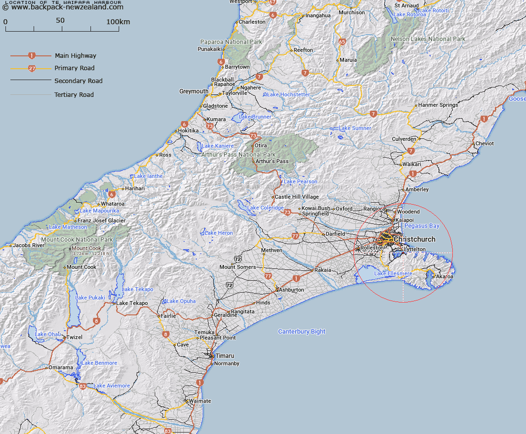
Map showing location of Te Waipapa Harbour


LINZ description: Māori name for Diamond Harbour
Latitude: -43.625367
Longitude: 172.729786
Northing: 5169700
Easting: 1578200
Land District: Canterbury
Feat Type: Bay


Scroll down to see a more detailed road map and below that a topographical map showing the location of Te Waipapa Harbour. The road map has been supplied by openstreetmap and the topographical map of Te Waipapa Harbour has been supplied by Land Information New Zealand (LINZ).

Yes you can use the top static map for you school/university project or personal website with a link back. Contact me for any commercial use.

Te Waipapa Harbour Map New Zealand


New Zealand places in our database
[ A ] [ B ] [ C ] [ D ] [ E ] [ F ] [ G ] [ H ] [ I ] [ J ] [ K ] [ L ] [ M ] [ N ] [ O ] [ P ] [ Q ] [ R ] [ S ] [ T ] [ U ] [ V ] [ W ] [ X ] [ Y ] [ Z ]


Closest 20 Bays to Te Waipapa Harbour

Lyttleton Harbour ( 0.96km )   Lyttelton Harbour/Whakaraup? ( 0.96km )   Kaioruru/Church Bay ( 1.27km )   Church Bay ( 1.27km )   Purau Bay ( 1.53km )   Hays Bay ( 1.81km )   Inainatu/Pile Bay ( 2.5km )   Pile Bay ( 2.5km )   Shelly Bay ( 2.5km )   Inainatu Bay ( 2.5km )   Magazine Bay ( 2.75km )   Gollans Bay ( 2.87km )   Otokitoki/Gollans Bay ( 2.87km )   Motukauatiiti Bay ( 3.09km )   Motukauatiiti/Corsair Bay ( 3.09km )   Corsair Bay ( 3.09km )   Deep Gully Bay ( 3.16km )   Motukauatirahi/Cass Bay ( 3.61km )   Motukauatirahi Bay ( 3.61km )   Cass Bay ( 3.61km )   Charteris Bay ( 3.68km )   Te Wharau/Charteris Bay ( 3.68km )   Livingstone Bay ( 4.09km )   Camp Bay ( 4.25km )   Te Pohue/Camp Bay ( 4.25km )   Rapaki Bay ( 4.34km )   Breeze Bay ( 5.48km )   Governors Bay ( 5.69km )   Head of the Bay ( 5.93km )   Harris Bay ( 6.22km )   Taylors Mistake ( 6.24km )   Mechanics Bay ( 6.35km )   Moncks Bay ( 6.82km )   Little Port Cooper ( 6.93km )   Waitata/Little Port Cooper ( 6.93km )   Boulder Bay ( 7.24km )   McCormacks Bay ( 7.77km )   Blind Bay ( 11.75km )   Big Bay ( 12.3km )   Holmes Bay ( 13.86km )