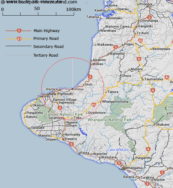
Map showing location of Te Urenui Pā


LINZ description: Pā site. 260–Q19, grid reference 310448
Latitude: -38.992422
Longitude: 174.396429
Northing: 5683136.9
Easting: 1720934.6
Land District: Taranaki
Feat Type: Site


Scroll down to see a more detailed road map and below that a topographical map showing the location of Te Urenui Pā. The road map has been supplied by openstreetmap and the topographical map of Te Urenui Pā has been supplied by Land Information New Zealand (LINZ).

Yes you can use the top static map for you school/university project or personal website with a link back. Contact me for any commercial use.

Te Urenui Pā Map New Zealand


New Zealand places in our database
[ A ] [ B ] [ C ] [ D ] [ E ] [ F ] [ G ] [ H ] [ I ] [ J ] [ K ] [ L ] [ M ] [ N ] [ O ] [ P ] [ Q ] [ R ] [ S ] [ T ] [ U ] [ V ] [ W ] [ X ] [ Y ] [ Z ]


Closest 20 Sites to Te Urenui Pā

Pohokura Pa ( 0.93km )   Mahitamariki Marae ( 0.96km )   Te Urinui Pa ( 1.53km )   Sir Peter Buck Memorial ( 2.11km )   Okoki Pa ( 2.55km )   Te Rauotehuia Pa ( 4.37km )   Arapawanui Pa ( 4.68km )   Ruataki Pa ( 9.18km )   Papatiki Redoubt ( 11.27km )   Waiiti Redoubt ( 11.42km )   Titoki Pa ( 11.57km )   Awatetake Pa ( 12.12km )   Otumatua Pa ( 12.7km )   Otaraoa Pa ( 12.86km )   Pukerangiora Pa ( 14.06km )   Te Arei Redoubt ( 14.17km )   Puketakauere Pa ( 14.55km )   Whitely Memorial ( 15.01km )   Mahoetahi Historic Site ( 17.8km )   Katikatiaka Pa ( 19.79km )   Mangahau Pa ( 21.79km )   Rewarewa Pa ( 24.95km )   Puketarata Pa ( 27.63km )   Parihamore Pa ( 27.82km )   Te Kawau Pa ( 30.73km )   Hurworth House ( 31.73km )   Omata Stockade ( 33.64km )   Waireka Camp ( 35.46km )   Te Koru Pa ( 38.29km )   Whakaahu Rangi Plaque ( 38.38km )   Saint Andrews Redoubt ( 39.93km )   Kaitake Redoubt ( 40.32km )   Maniaroa Marae ( 40.93km )   Patuha Pa ( 42.07km )   Timaru Redoubt ( 43.23km )   Tataraimaka Pa ( 46.98km )   Pouteau Pa ( 47.7km )   Puketi Pa ( 48.68km )   Okato Blockhouse ( 49.43km )   Ngaweka Pa ( 51.1km )