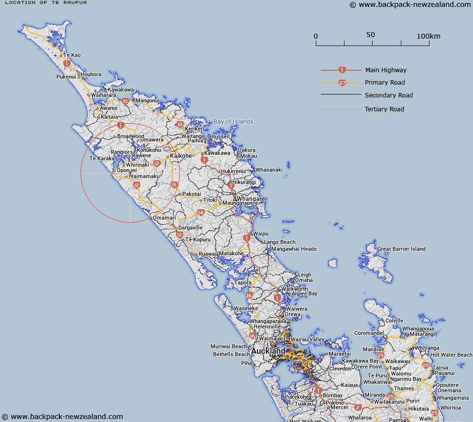
Map showing location of Te Raupua
LINZ description: Highest point in the Waima Forest at 781m north west of Mount Misery.
Latitude: -35.525392
Longitude: 173.511132
Northing: 6068570.4
Easting: 1646341.8
Land District: North Auckland
Feat Type: Hill
Latitude: -35.525392
Longitude: 173.511132
Northing: 6068570.4
Easting: 1646341.8
Land District: North Auckland
Feat Type: Hill

Scroll down to see a more detailed road map and below that a topographical map showing the location of Te Raupua. The road map has been supplied by openstreetmap and the topographical map of Te Raupua has been supplied by Land Information New Zealand (LINZ).
Yes you can use the top static map for you school/university project or personal website with a link back. Contact me for any commercial use.
[ A ] [ B ] [ C ] [ D ] [ E ] [ F ] [ G ] [ H ] [ I ] [ J ] [ K ] [ L ] [ M ] [ N ] [ O ] [ P ] [ Q ] [ R ] [ S ] [ T ] [ U ] [ V ] [ W ] [ X ] [ Y ] [ Z ]