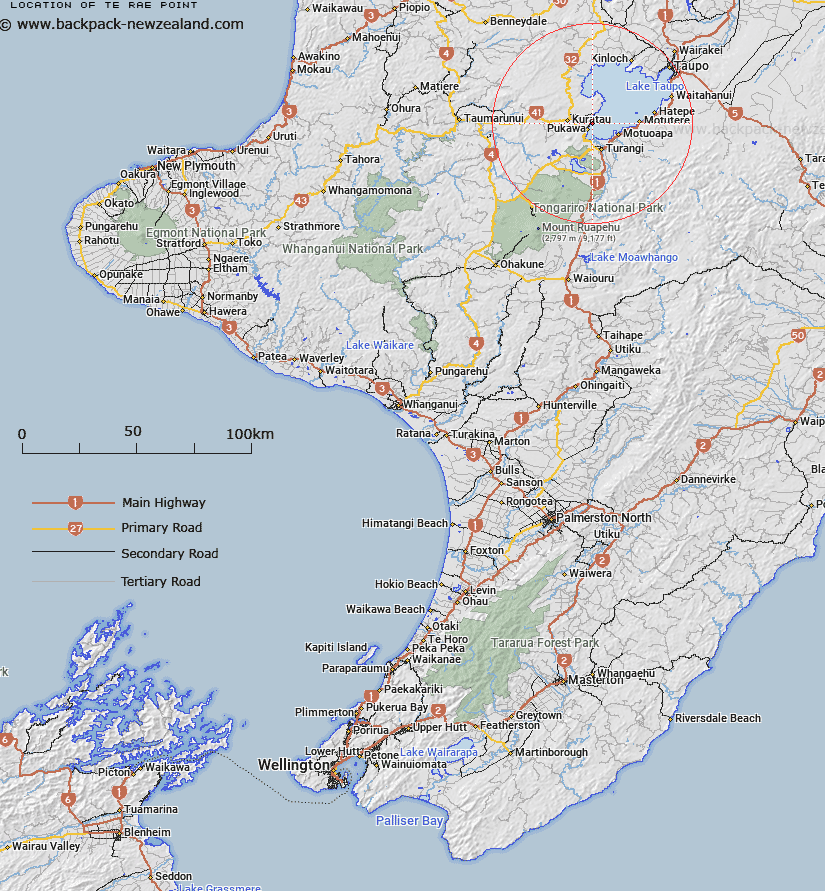
Map showing location of Te Rae Point
LINZ description: The feature just south of the Kuratau River mouth at the western shore of Lake Taupo
Latitude: -38.895147
Longitude: 175.774234
Northing: 5691200
Easting: 1840600
Land District: Wellington
Feat Type: Spit
Latitude: -38.895147
Longitude: 175.774234
Northing: 5691200
Easting: 1840600
Land District: Wellington
Feat Type: Spit

Scroll down to see a more detailed road map and below that a topographical map showing the location of Te Rae Point. The road map has been supplied by openstreetmap and the topographical map of Te Rae Point has been supplied by Land Information New Zealand (LINZ).
Yes you can use the top static map for you school/university project or personal website with a link back. Contact me for any commercial use.
[ A ] [ B ] [ C ] [ D ] [ E ] [ F ] [ G ] [ H ] [ I ] [ J ] [ K ] [ L ] [ M ] [ N ] [ O ] [ P ] [ Q ] [ R ] [ S ] [ T ] [ U ] [ V ] [ W ] [ X ] [ Y ] [ Z ]