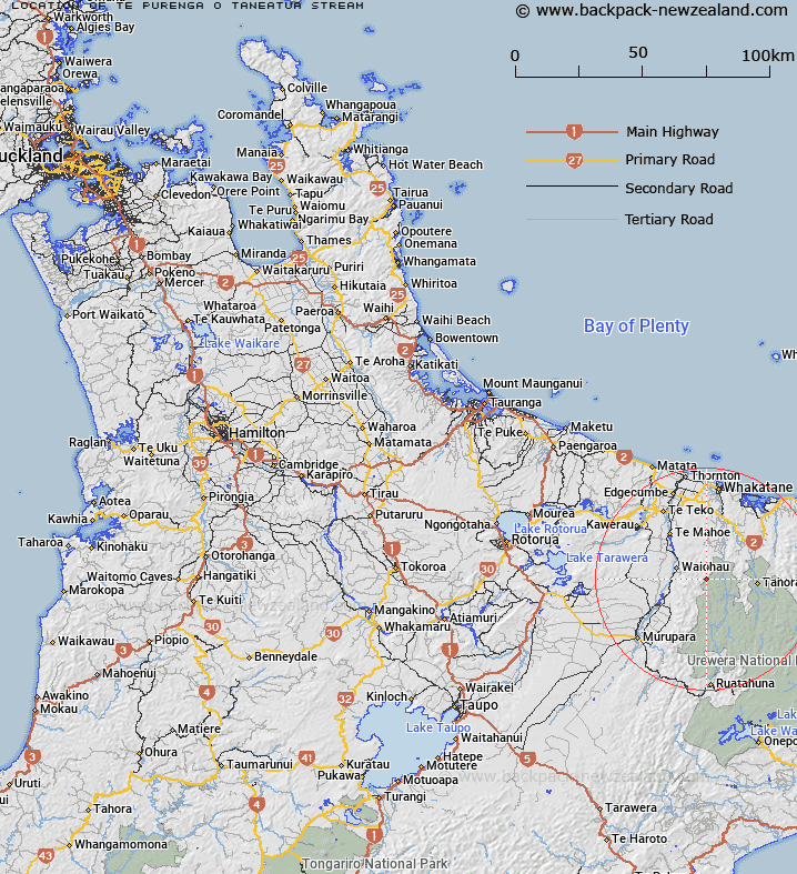
Map showing location of Te Purenga-o-Tāneatua Stream
LINZ description: A stream in Ikawhenua Range flowing south-east into Opaewai Stream approximately 16km south-east of Lake Matahina. Feature shown on: NZMS260 W16 Edition 1 1990 Reprinted 1994; NZTopo50-BF39 447582 (source) to 460576 (mouth)
Latitude: -38.26075
Longitude: 176.94225
Northing: 5757898.3
Easting: 1944953.9
Land District: South Auckland
Feat Type: Stream
Latitude: -38.26075
Longitude: 176.94225
Northing: 5757898.3
Easting: 1944953.9
Land District: South Auckland
Feat Type: Stream

Scroll down to see a more detailed road map and below that a topographical map showing the location of Te Purenga-o-Tāneatua Stream. The road map has been supplied by openstreetmap and the topographical map of Te Purenga-o-Tāneatua Stream has been supplied by Land Information New Zealand (LINZ).
Yes you can use the top static map for you school/university project or personal website with a link back. Contact me for any commercial use.
[ A ] [ B ] [ C ] [ D ] [ E ] [ F ] [ G ] [ H ] [ I ] [ J ] [ K ] [ L ] [ M ] [ N ] [ O ] [ P ] [ Q ] [ R ] [ S ] [ T ] [ U ] [ V ] [ W ] [ X ] [ Y ] [ Z ]