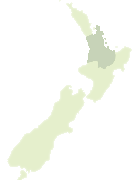
Map showing location of Te Puia Point


LINZ description: Feature shown on: NZMS260 T12 Edition 3 1991 Limited Revision 1996
Latitude: -37.203167
Longitude: 175.884139
Northing: 5878692.1
Easting: 1855964.3
Land District: South Auckland
Feat Type: Point

Scroll down to see a more detailed road map and below that a topographical map showing the location of Te Puia Point. The road map has been supplied by openstreetmap and the topographical map of Te Puia Point has been supplied by Land Information New Zealand (LINZ).

Yes you can use the top static map for you school/university project or personal website with a link back. Contact me for any commercial use.
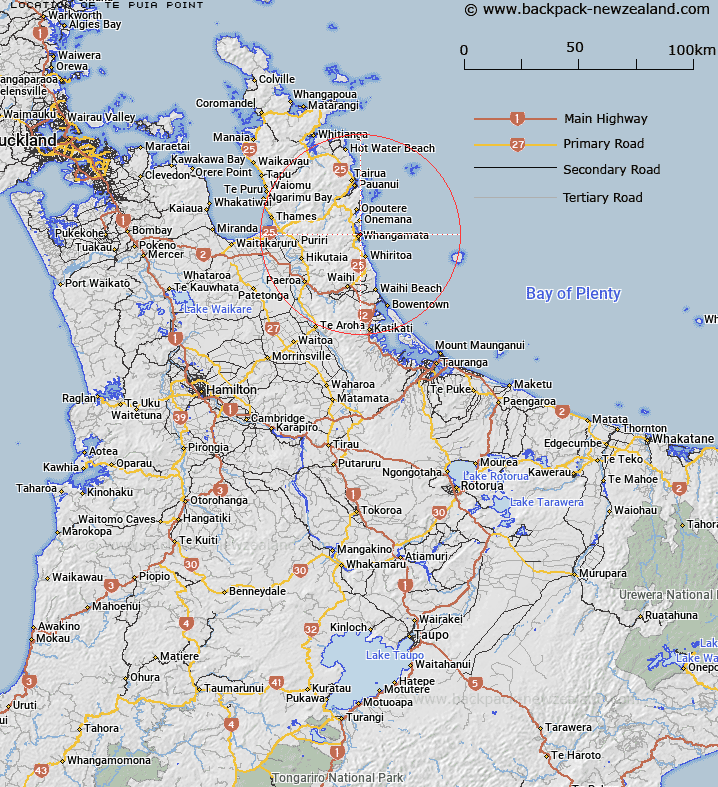
Te Puia Point Map New Zealand


New Zealand places in our database
[ A ] [ B ] [ C ] [ D ] [ E ] [ F ] [ G ] [ H ] [ I ] [ J ] [ K ] [ L ] [ M ] [ N ] [ O ] [ P ] [ Q ] [ R ] [ S ] [ T ] [ U ] [ V ] [ W ] [ X ] [ Y ] [ Z ]


Closest 20 Points to Te Puia Point

Te Karaka Point ( 0.13km )   Patuhamo Point ( 1.13km )   Moana Point ( 2.27km )   Te Ananui Point ( 2.56km )   Waikaukau Point ( 3.55km )   Omarupotiki Point ( 3.93km )   Te Karetu Point ( 4.26km )   Otaumere Point ( 5.12km )   Opito Point ( 5.51km )   Whitipirorua Point ( 5.57km )   Te Papiri Point ( 6.12km )   Te Rapiri Point ( 6.12km )   Ruahiwihiwi Point ( 10.05km )   Otonga Point ( 10.2km )   Green Point ( 19.35km )   Pleasant Point ( 21.33km )   Rapatiotio Point ( 21.81km )   Royal Billy Point ( 22.11km )   Te Huruhuru Point ( 22.15km )   Tokaroa Point ( 22.79km )   Te Ororoa Point ( 29km )   Yellow Point ( 30.59km )   Bowentown Heads ( 30.68km )   Awatukoro Point ( 30.82km )   Papatu Point ( 31.02km )   Tanners Point ( 31.15km )   Tumutu Point ( 31.38km )   Whatipu Point ( 31.78km )   Opani Point ( 31.97km )   Whakataratara (Maori Chief) ( 32.15km )   Ongare Point ( 33.34km )   Waikawa Point ( 33.48km )   Rocky Point ( 34.58km )   Windy Point ( 35.02km )   Wharenui Point ( 35.46km )   Kauri Point ( 35.63km )   Te Horo Point ( 35.68km )   Ruakikeno Point (Tauranga) ( 35.92km )   Okawa Point ( 35.92km )   Parikoura Point ( 35.96km )