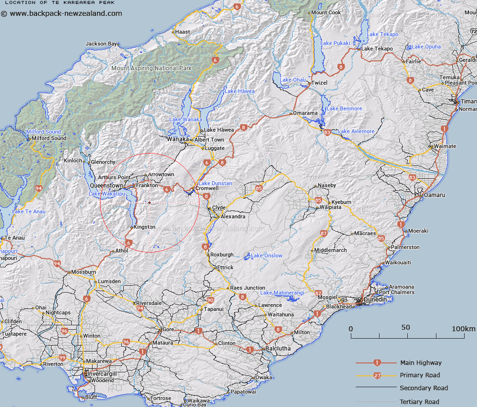
Map showing location of Te Kārearea Peak
LINZ description: A significant alpine peak at 2252m, approximately 2.3km south-east of Lake Hope at the southern end of The Remarkables. NZTopo50 CC11-Queenstown, GR 744 922.
Latitude: -45.148521
Longitude: 168.858092
Northing: 4992200
Easting: 1274400
Land District: Otago
Feat Type: Hill
Latitude: -45.148521
Longitude: 168.858092
Northing: 4992200
Easting: 1274400
Land District: Otago
Feat Type: Hill

Scroll down to see a more detailed road map and below that a topographical map showing the location of Te Kārearea Peak. The road map has been supplied by openstreetmap and the topographical map of Te Kārearea Peak has been supplied by Land Information New Zealand (LINZ).
Yes you can use the top static map for you school/university project or personal website with a link back. Contact me for any commercial use.
[ A ] [ B ] [ C ] [ D ] [ E ] [ F ] [ G ] [ H ] [ I ] [ J ] [ K ] [ L ] [ M ] [ N ] [ O ] [ P ] [ Q ] [ R ] [ S ] [ T ] [ U ] [ V ] [ W ] [ X ] [ Y ] [ Z ]