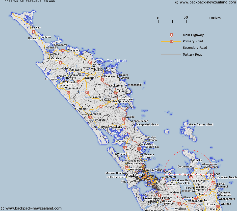
Map showing location of Tataweka Island


LINZ description: Smaller of two islands at entrance to Manaia Harbour. Coromandel Survey District.
Latitude: -36.840252
Longitude: 175.426801
Northing: 5920100
Easting: 1816396.4
Land District: North Auckland
Feat Type: Island


Scroll down to see a more detailed road map and below that a topographical map showing the location of Tataweka Island. The road map has been supplied by openstreetmap and the topographical map of Tataweka Island has been supplied by Land Information New Zealand (LINZ).

Yes you can use the top static map for you school/university project or personal website with a link back. Contact me for any commercial use.

Tataweka Island Map New Zealand


New Zealand places in our database
[ A ] [ B ] [ C ] [ D ] [ E ] [ F ] [ G ] [ H ] [ I ] [ J ] [ K ] [ L ] [ M ] [ N ] [ O ] [ P ] [ Q ] [ R ] [ S ] [ T ] [ U ] [ V ] [ W ] [ X ] [ Y ] [ Z ]


Closest 20 Islands to Tataweka Island

Wekarua Island ( 0.66km )   Rangipukea Island ( 1.9km )   Matariki Islands ( 3.05km )   Calf Island ( 3.86km )   Cow Island ( 4.48km )   Motutapere Island ( 6.83km )   Whanganui Island ( 7.93km )   Waimate Island ( 8.59km )   Motukakarikitahi Island (Rat island) ( 9.09km )   Motukopake Island ( 9.97km )   Motukaramea Island (Kaikai Island) ( 10.34km )   Motuokino Island (Shag Rock) ( 10.81km )   Motumorirau Island (Pauls Island) ( 11.2km )   Hautapu Rocks ( 11.98km )   Motuoruhi Island (Goat Island) ( 12km )   Motupohukuo Island (Turkey Island) ( 12.11km )   Moturua Island (Rabbit Island) ( 16.22km )   Ngamotukaraka Islands (Three Kings Islands) ( 16.23km )   Frenchmans Cap ( 17.13km )   Motuwinukenuke Island (Square Island) ( 17.82km )   Motutakupu Island (Gannet Island) ( 18.27km )   Motukaramarama Island (Bush Island) ( 18.32km )   Motuwi Island (Double Island) ( 18.69km )   Tarahiki Island (Shag Island) ( 19.56km )   Ponui Island (Chamberlins Island) ( 20.03km )   Motukawao Group ( 20.06km )   Rotoroa Island ( 20.1km )   Motuwhakakewa Island ( 20.89km )   Pakatoa Island ( 21.37km )   Motukahaua Island (Happy Jack Island) ( 21.44km )   Motumakareta Island ( 21.72km )   Oruapopou Island ( 22.04km )   Pungapunga Island ( 22.17km )   Frenchmans Cap ( 22.79km )   Opuhi Rocks ( 22.87km )   Motupotaka (Black Rocks) ( 23.03km )   Motukopu Island ( 23.56km )   Pahiki Island ( 24.56km )   Pakihi Island ( 24.56km )   Tokatarea Rock ( 25.48km )