Map showing location of Tapuae-o-Uenuku


LINZ description: Highest mountain on the Inland Kaikoura Range
Latitude: -41.995884
Longitude: 173.662822
Northing: 5350468.4
Easting: 1654897
Land District: Marlborough
Feat Type: Hill
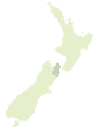

Scroll down to see a more detailed road map and below that a topographical map showing the location of Tapuae-o-Uenuku. The road map has been supplied by openstreetmap and the topographical map of Tapuae-o-Uenuku has been supplied by Land Information New Zealand (LINZ).

Yes you can use the top static map for you school/university project or personal website with a link back. Contact me for any commercial use.
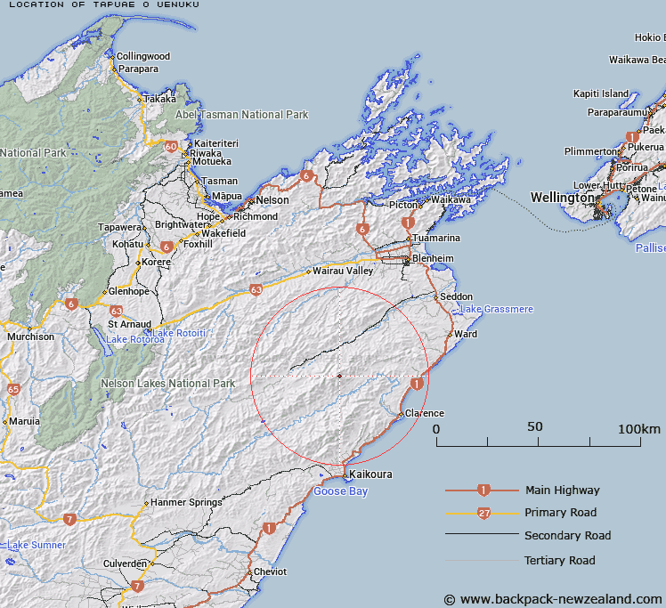
Tapuae-o-Uenuku Map New Zealand


New Zealand places in our database
[ A ] [ B ] [ C ] [ D ] [ E ] [ F ] [ G ] [ H ] [ I ] [ J ] [ K ] [ L ] [ M ] [ N ] [ O ] [ P ] [ Q ] [ R ] [ S ] [ T ] [ U ] [ V ] [ W ] [ X ] [ Y ] [ Z ]


Closest 20 Hills to Tapuae-o-Uenuku

Pinnacle ( 1.22km )   Crows Nest ( 2.03km )   Mount Alarm ( 2.56km )   The Bridge ( 4.25km )   Mitre Peak ( 4.5km )   Mount Gladstone ( 5.44km )   Division Hill ( 8.07km )   Gibraltar ( 8.09km )   Hodder ( 8.46km )   Mount Symons ( 8.72km )   Camden ( 9.46km )   Otterson ( 9.59km )   Mount Winterton ( 10.15km )   Limestone ( 10.53km )   Mount Cold ( 11.94km )   Mount McRae ( 12.01km )   Mount Monro ( 12.34km )   Mount Union ( 12.57km )   Mount Upcot ( 13.17km )   Mackintosh Knob ( 13.52km )   Black Mount ( 14.04km )   Constitution Hill ( 14.36km )   Mount Lookout ( 14.37km )   Glenlee ( 14.48km )   Black Hill ( 14.6km )   Mead Hill ( 14.9km )   Peninsula ( 16.1km )   Bluff Hill ( 16.4km )   Sleepy Peak ( 16.7km )   The Ned ( 17.18km )   Mount Elliott ( 17.23km )   Snowdon ( 17.23km )   Little Bolton ( 17.38km )   Star Hill ( 17.62km )   Tarahaka ( 18.15km )   Mount Malvern ( 18.37km )   Barometer ( 18.48km )   Esau ( 18.55km )   Mount Major ( 18.97km )   Limestone Hill ( 19.09km )