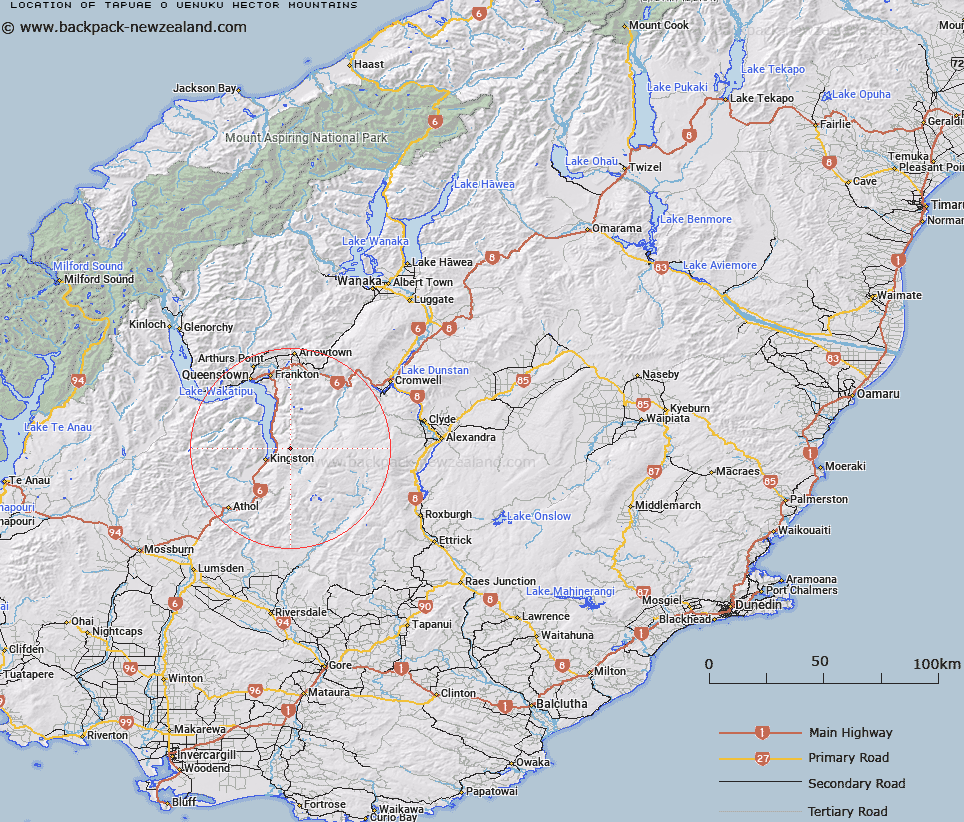
Map showing location of Tapuae-o-Uenuku / Hector Mountains
LINZ description: A major alpine range running north-south along the southern arm of Lake Wakatipu. NZTopo50 CC11-Queenstown, from GR 737 900 to NZTopo50 CD11-Kingston, GR 688 575. Alteration from Hector Mountains (former official geographic name) to a dual name and replacing New Zealand Gazette, 12 June 1980, No. 66, page 1752.
Latitude: -45.292717
Longitude: 168.813419
Northing: 4976000
Easting: 1271720.5
Land District: Otago
Feat Type: Range
Latitude: -45.292717
Longitude: 168.813419
Northing: 4976000
Easting: 1271720.5
Land District: Otago
Feat Type: Range

Scroll down to see a more detailed road map and below that a topographical map showing the location of Tapuae-o-Uenuku / Hector Mountains. The road map has been supplied by openstreetmap and the topographical map of Tapuae-o-Uenuku / Hector Mountains has been supplied by Land Information New Zealand (LINZ).
Yes you can use the top static map for you school/university project or personal website with a link back. Contact me for any commercial use.
[ A ] [ B ] [ C ] [ D ] [ E ] [ F ] [ G ] [ H ] [ I ] [ J ] [ K ] [ L ] [ M ] [ N ] [ O ] [ P ] [ Q ] [ R ] [ S ] [ T ] [ U ] [ V ] [ W ] [ X ] [ Y ] [ Z ]