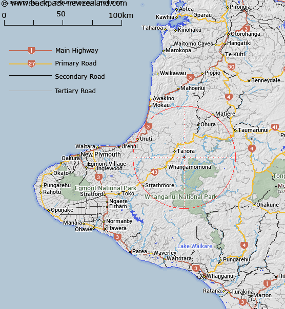
Map showing location of Tāngarākau Forest
LINZ description: Feature shown on: NZTopo50-BH32 626733
Latitude: -39.073438
Longitude: 174.879894
Northing: 5673392
Easting: 1762621
Land District: Taranaki
Feat Type: Forest
Latitude: -39.073438
Longitude: 174.879894
Northing: 5673392
Easting: 1762621
Land District: Taranaki
Feat Type: Forest

Scroll down to see a more detailed road map and below that a topographical map showing the location of Tāngarākau Forest. The road map has been supplied by openstreetmap and the topographical map of Tāngarākau Forest has been supplied by Land Information New Zealand (LINZ).
Yes you can use the top static map for you school/university project or personal website with a link back. Contact me for any commercial use.
[ A ] [ B ] [ C ] [ D ] [ E ] [ F ] [ G ] [ H ] [ I ] [ J ] [ K ] [ L ] [ M ] [ N ] [ O ] [ P ] [ Q ] [ R ] [ S ] [ T ] [ U ] [ V ] [ W ] [ X ] [ Y ] [ Z ]