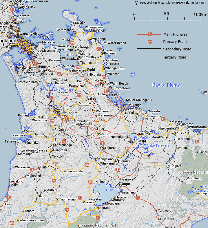
Map showing location of Tamihana
LINZ description: New railway junction and sidings for the Kaimai Tunnel deviation 3km North-west of Waharoa township, situated in Block XIII, Wairere Survey District
Latitude: -37.738208
Longitude: 175.724526
Northing: 5819735.6
Easting: 1840076.8
Land District: South Auckland
Feat Type: Railway Junction
Latitude: -37.738208
Longitude: 175.724526
Northing: 5819735.6
Easting: 1840076.8
Land District: South Auckland
Feat Type: Railway Junction

Scroll down to see a more detailed road map and below that a topographical map showing the location of Tamihana. The road map has been supplied by openstreetmap and the topographical map of Tamihana has been supplied by Land Information New Zealand (LINZ).
Yes you can use the top static map for you school/university project or personal website with a link back. Contact me for any commercial use.
[ A ] [ B ] [ C ] [ D ] [ E ] [ F ] [ G ] [ H ] [ I ] [ J ] [ K ] [ L ] [ M ] [ N ] [ O ] [ P ] [ Q ] [ R ] [ S ] [ T ] [ U ] [ V ] [ W ] [ X ] [ Y ] [ Z ]