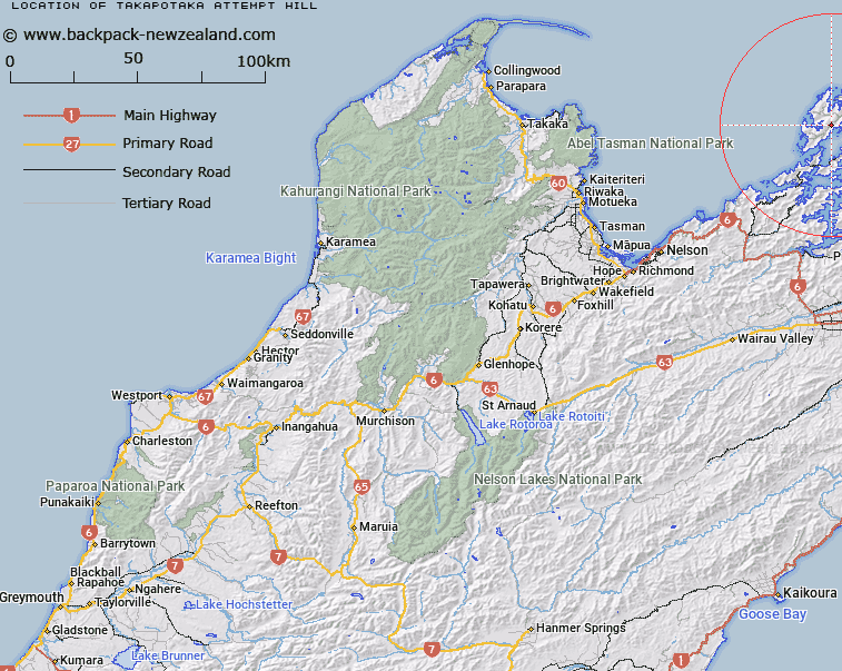
Map showing location of Takapōtaka / Attempt Hill
LINZ description: A hill at 729 m on Rangitoto ki te Tonga / D’Urville Island approximately 8 km north-northeast of Te Aumiti / French Pass. Feature shown on: NZMS260 O26 P25 Pt P26 Edition 1 1980; NZTopo50-BP28 731771
Latitude: -40.854
Longitude: 173.867389
Northing: 5477088.1
Easting: 1673109.9
Land District: Nelson
Feat Type: Hill
Latitude: -40.854
Longitude: 173.867389
Northing: 5477088.1
Easting: 1673109.9
Land District: Nelson
Feat Type: Hill

Scroll down to see a more detailed road map and below that a topographical map showing the location of Takapōtaka / Attempt Hill. The road map has been supplied by openstreetmap and the topographical map of Takapōtaka / Attempt Hill has been supplied by Land Information New Zealand (LINZ).
Yes you can use the top static map for you school/university project or personal website with a link back. Contact me for any commercial use.
[ A ] [ B ] [ C ] [ D ] [ E ] [ F ] [ G ] [ H ] [ I ] [ J ] [ K ] [ L ] [ M ] [ N ] [ O ] [ P ] [ Q ] [ R ] [ S ] [ T ] [ U ] [ V ] [ W ] [ X ] [ Y ] [ Z ]