Map showing location of Sugar Loaf Islands Sanctuary
LINZ description: 2.6300 hectares, more or less, being Sections 1, 2, 3, 4, 5, 6, 7, 8, and 9, SO Plan 488325. Part Computer Freehold Register (CFR) TN144/101.
1.8150 hectares, more or less, being Sections 18, 19, 20, and 21, SO Plan 488325. Part Computer Freehold Register (CFR) TN102/148.
0.3550 hectares, more or less, being Section 17, SO Plan 488325.
Including Moturoa Island, Motumahanga (Saddleback Island), Waikaranga (Seal Rocks), and Whareumu (Lion Rock) to mean low water mark, and as defined by section 7(2) of the Sugar Loaf Islands Marine Protected Area Act 1991.
Latitude: -39.048889
Longitude: 174.0175
Northing: 5677305.6
Easting: 1688047.4
Land District: Taranaki
Feat Type: Sanctuary Area
Latitude: -39.048889
Longitude: 174.0175
Northing: 5677305.6
Easting: 1688047.4
Land District: Taranaki
Feat Type: Sanctuary Area

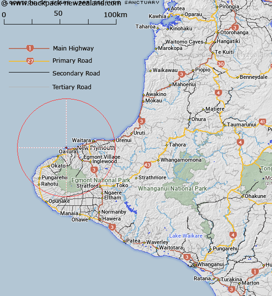
Scroll down to see a more detailed road map and below that a topographical map showing the location of Sugar Loaf Islands Sanctuary. The road map has been supplied by openstreetmap and the topographical map of Sugar Loaf Islands Sanctuary has been supplied by Land Information New Zealand (LINZ).
Yes you can use the top static map for you school/university project or personal website with a link back. Contact me for any commercial use.
[ A ] [ B ] [ C ] [ D ] [ E ] [ F ] [ G ] [ H ] [ I ] [ J ] [ K ] [ L ] [ M ] [ N ] [ O ] [ P ] [ Q ] [ R ] [ S ] [ T ] [ U ] [ V ] [ W ] [ X ] [ Y ] [ Z ]