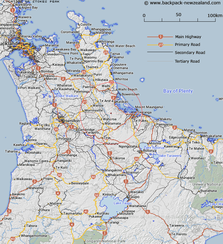
Map showing location of Stokes Peak
LINZ description: Raised peak, at height 814m, located in the Kaimai Range, directly above the Kaimai Railway Tunnel. New name for a feature not named. Geodetic mark, coded A39H, named 5793, beaconed, is located at the summit.
Latitude: -37.686174
Longitude: 175.871993
Northing: 5825121.6
Easting: 1853251.1
Land District: South Auckland
Feat Type: Hill
Latitude: -37.686174
Longitude: 175.871993
Northing: 5825121.6
Easting: 1853251.1
Land District: South Auckland
Feat Type: Hill

Scroll down to see a more detailed road map and below that a topographical map showing the location of Stokes Peak. The road map has been supplied by openstreetmap and the topographical map of Stokes Peak has been supplied by Land Information New Zealand (LINZ).
Yes you can use the top static map for you school/university project or personal website with a link back. Contact me for any commercial use.
[ A ] [ B ] [ C ] [ D ] [ E ] [ F ] [ G ] [ H ] [ I ] [ J ] [ K ] [ L ] [ M ] [ N ] [ O ] [ P ] [ Q ] [ R ] [ S ] [ T ] [ U ] [ V ] [ W ] [ X ] [ Y ] [ Z ]