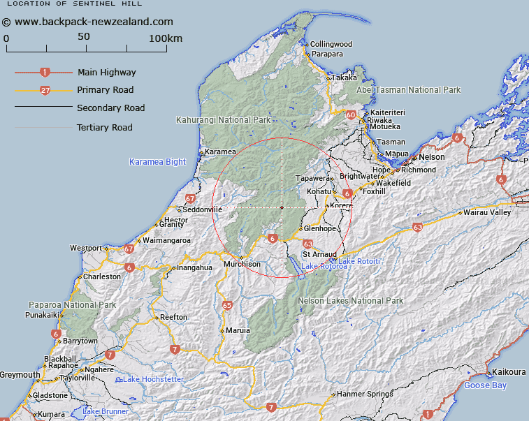
Map showing location of Sentinel Hill
LINZ description: Peak (1600m) on Mount Owen massif, in the Marino Mountains. 1.8km North North-east of Mount Owen [Trig. MO (Geodetic Code 1189)]. Block I Tainui Survey District.
Latitude: -41.536778
Longitude: 172.548881
Northing: 5401554.5
Easting: 1562369.7
Land District: Nelson
Feat Type: Hill
Latitude: -41.536778
Longitude: 172.548881
Northing: 5401554.5
Easting: 1562369.7
Land District: Nelson
Feat Type: Hill

Scroll down to see a more detailed road map and below that a topographical map showing the location of Sentinel Hill. The road map has been supplied by openstreetmap and the topographical map of Sentinel Hill has been supplied by Land Information New Zealand (LINZ).
Yes you can use the top static map for you school/university project or personal website with a link back. Contact me for any commercial use.
[ A ] [ B ] [ C ] [ D ] [ E ] [ F ] [ G ] [ H ] [ I ] [ J ] [ K ] [ L ] [ M ] [ N ] [ O ] [ P ] [ Q ] [ R ] [ S ] [ T ] [ U ] [ V ] [ W ] [ X ] [ Y ] [ Z ]