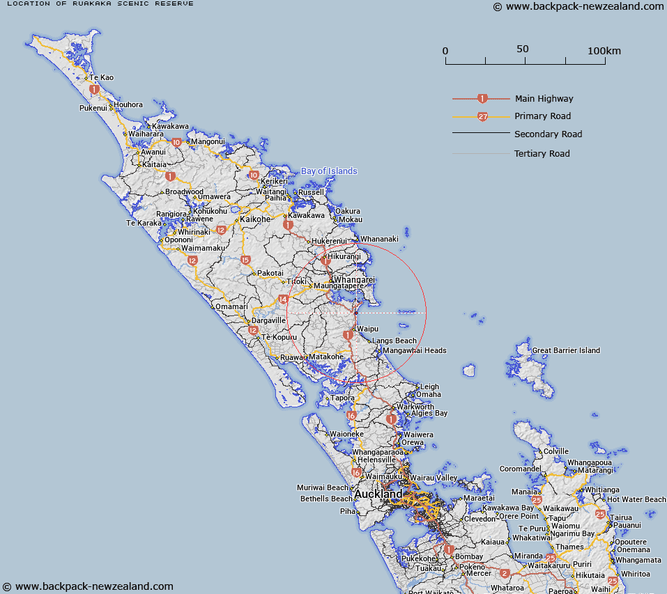
Map showing location of Ruakākā Scenic Reserve
LINZ description: Being Sections 3 (72.1ha), 4 (5.23ha), 5 (93.19ha) SO 461691, and Part Allotment 87 Parish of Ruakaka; shown as Area 3 on SO 61584 (4.8ha)
Latitude: -35.896065
Longitude: 174.463584
Northing: 6026590.1
Easting: 1732086.8
Land District: North Auckland
Feat Type: Scenic Reserve
Latitude: -35.896065
Longitude: 174.463584
Northing: 6026590.1
Easting: 1732086.8
Land District: North Auckland
Feat Type: Scenic Reserve

Scroll down to see a more detailed road map and below that a topographical map showing the location of Ruakākā Scenic Reserve. The road map has been supplied by openstreetmap and the topographical map of Ruakākā Scenic Reserve has been supplied by Land Information New Zealand (LINZ).
Yes you can use the top static map for you school/university project or personal website with a link back. Contact me for any commercial use.
[ A ] [ B ] [ C ] [ D ] [ E ] [ F ] [ G ] [ H ] [ I ] [ J ] [ K ] [ L ] [ M ] [ N ] [ O ] [ P ] [ Q ] [ R ] [ S ] [ T ] [ U ] [ V ] [ W ] [ X ] [ Y ] [ Z ]