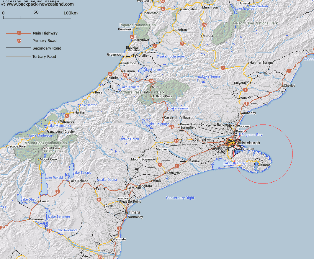
Map showing location of Raupo Stream


LINZ description: The northern stream flowing into Raupo Bay rising on the north east slopes of View Hill. It is about 3 miles long and flows generally north-east curving north-west along the Long Lookout Spur, entering the sea at Big Raupo, Raupo Bay.
Latitude: -43.666809
Longitude: 173.022404
Northing: 5165132.6
Easting: 1601806.3
Land District: Canterbury
Feat Type: Stream


Scroll down to see a more detailed road map and below that a topographical map showing the location of Raupo Stream. The road map has been supplied by openstreetmap and the topographical map of Raupo Stream has been supplied by Land Information New Zealand (LINZ).

Yes you can use the top static map for you school/university project or personal website with a link back. Contact me for any commercial use.

Raupo Stream Map New Zealand


New Zealand places in our database
[ A ] [ B ] [ C ] [ D ] [ E ] [ F ] [ G ] [ H ] [ I ] [ J ] [ K ] [ L ] [ M ] [ N ] [ O ] [ P ] [ Q ] [ R ] [ S ] [ T ] [ U ] [ V ] [ W ] [ X ] [ Y ] [ Z ]


Closest 20 Streams to Raupo Stream

Duncan Stream ( 4.62km )   Opara Stream ( 5.44km )   Menzies Stream ( 5.47km )   Knight Stream ( 8.21km )   Dick Stream ( 9.66km )   Pipers Stream ( 10.39km )   Pigeon Bay Stream ( 10.52km )   Pawsons Stream ( 10.92km )   Le Bons Stream ( 11.04km )   Totara Stream ( 11.66km )   Holmes Stream ( 12.85km )   Ellangowan Stream ( 13.61km )   Takamatua Stream ( 13.93km )   Barrys Bay Stream ( 13.95km )   Koukourarata Stream ( 15.13km )   Maori Gully ( 15.13km )   Grehan Stream ( 15.4km )   Crown Island Stream ( 15.56km )   Te Puaha Stream ( 15.83km )   Balgueri Stream ( 16.42km )   Balguerie Stream ( 16.74km )   Owhetoro Stream ( 16.75km )   Walnut Stream ( 17.22km )   Hikuika Stream ( 17.51km )   Aylmers Stream ( 17.9km )   Te Kawa Stream ( 18.19km )   Narbey Stream ( 18.22km )   Opuahou Stream ( 18.84km )   Hukahuka Turoa Stream ( 20.18km )   Okute River ( 21.05km )   Okuti River ( 21.05km )   Purau Stream ( 21.46km )   Okana River ( 21.79km )   Dan Rogers Creek ( 22.52km )   Kinloch Stream ( 23.29km )   Takiritawai River ( 24.12km )   Peraki Creek ( 24.78km )   Te Wharau Stream ( 25.31km )   Te Oka Stream ( 26.63km )   Estuary of the Heathcote and Avon Rivers ( 27.11km )