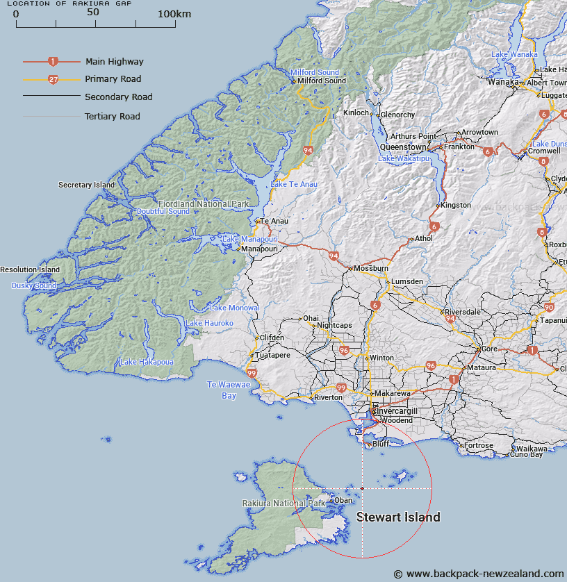
Map showing location of Rakiura Gap
LINZ description: A northwest-southeast trending submarine valley at the eastern end of Foveaux Strait between Ruapuke Island and Stewart Island / Rakiura. Depicted on Foveaux Chart©, Mitchell & Garlick, 2001.
Latitude: -46.8333
Longitude: 168.3
Northing: 4802627
Easting: 1241595.5
Land District: Southland
Feat Type: Gap
Latitude: -46.8333
Longitude: 168.3
Northing: 4802627
Easting: 1241595.5
Land District: Southland
Feat Type: Gap

Scroll down to see a more detailed road map and below that a topographical map showing the location of Rakiura Gap. The road map has been supplied by openstreetmap and the topographical map of Rakiura Gap has been supplied by Land Information New Zealand (LINZ).
Yes you can use the top static map for you school/university project or personal website with a link back. Contact me for any commercial use.
[ A ] [ B ] [ C ] [ D ] [ E ] [ F ] [ G ] [ H ] [ I ] [ J ] [ K ] [ L ] [ M ] [ N ] [ O ] [ P ] [ Q ] [ R ] [ S ] [ T ] [ U ] [ V ] [ W ] [ X ] [ Y ] [ Z ]