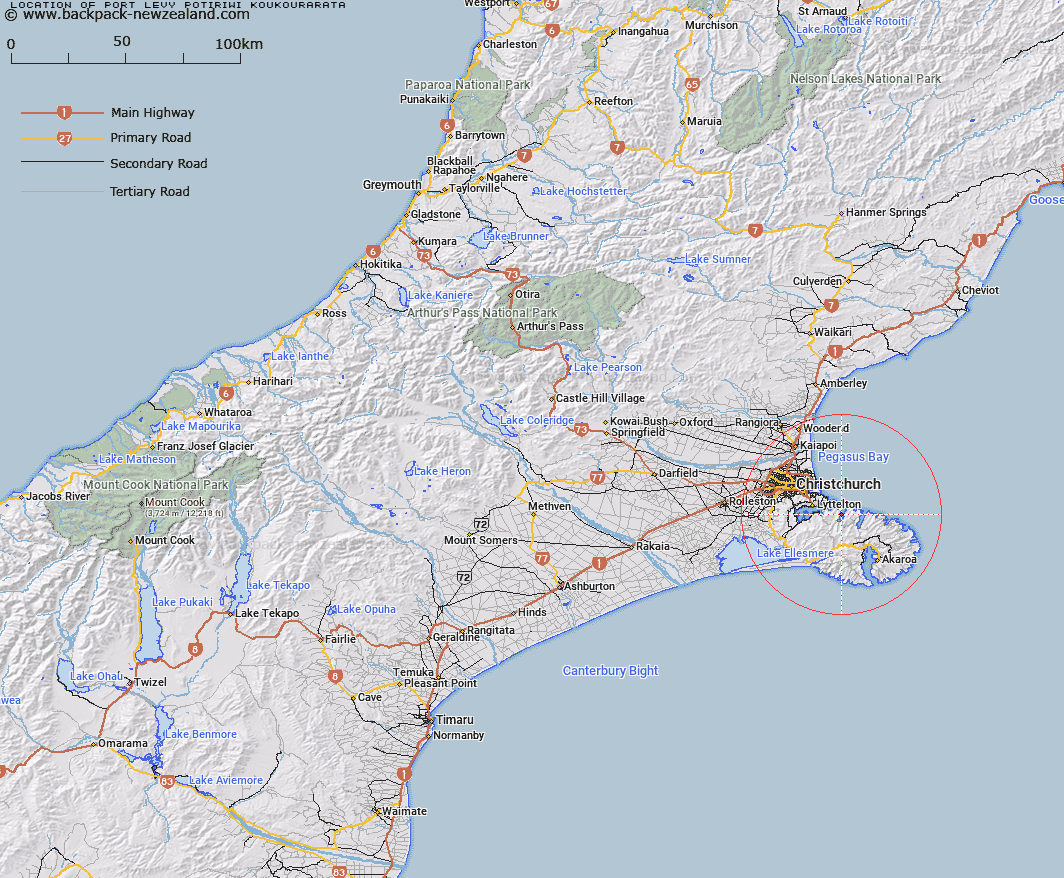
Map showing location of Port Levy (Potiriwi)/Koukourarata
LINZ description: Feature shown on: NZMS260-N36 970320; NZTopo50-BX24 862684;
Latitude: -43.636988
Longitude: 172.829201
Northing: 5168430.7
Easting: 1586223.1
Land District: Canterbury
Feat Type: Port
Latitude: -43.636988
Longitude: 172.829201
Northing: 5168430.7
Easting: 1586223.1
Land District: Canterbury
Feat Type: Port

Scroll down to see a more detailed road map and below that a topographical map showing the location of Port Levy (Potiriwi)/Koukourarata. The road map has been supplied by openstreetmap and the topographical map of Port Levy (Potiriwi)/Koukourarata has been supplied by Land Information New Zealand (LINZ).
Yes you can use the top static map for you school/university project or personal website with a link back. Contact me for any commercial use.
[ A ] [ B ] [ C ] [ D ] [ E ] [ F ] [ G ] [ H ] [ I ] [ J ] [ K ] [ L ] [ M ] [ N ] [ O ] [ P ] [ Q ] [ R ] [ S ] [ T ] [ U ] [ V ] [ W ] [ X ] [ Y ] [ Z ]