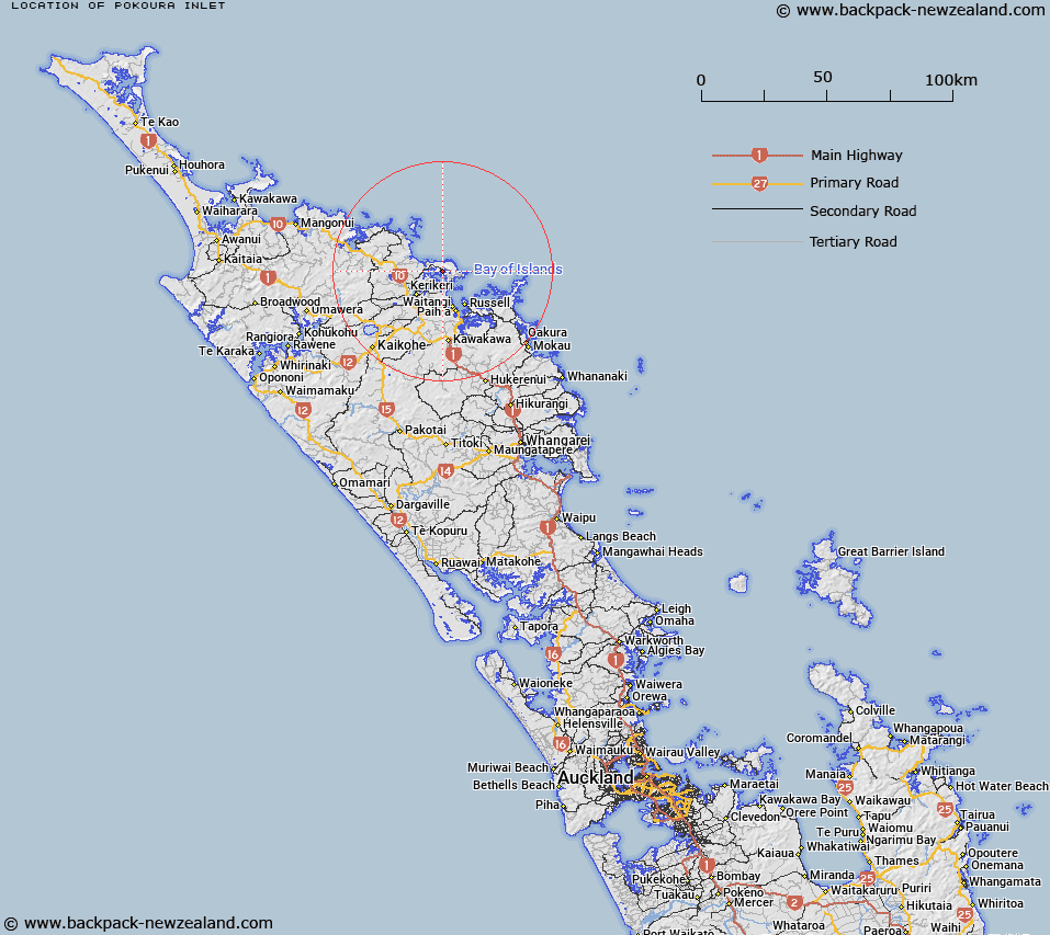
Map showing location of Pokoura Inlet


LINZ description: Western side of Ti Mangonui.
Latitude: -35.149272
Longitude: 174.048444
Northing: 6109900
Easting: 1695500
Land District: North Auckland
Feat Type: Bay


Scroll down to see a more detailed road map and below that a topographical map showing the location of Pokoura Inlet. The road map has been supplied by openstreetmap and the topographical map of Pokoura Inlet has been supplied by Land Information New Zealand (LINZ).

Yes you can use the top static map for you school/university project or personal website with a link back. Contact me for any commercial use.

Pokoura Inlet Map New Zealand


New Zealand places in our database
[ A ] [ B ] [ C ] [ D ] [ E ] [ F ] [ G ] [ H ] [ I ] [ J ] [ K ] [ L ] [ M ] [ N ] [ O ] [ P ] [ Q ] [ R ] [ S ] [ T ] [ U ] [ V ] [ W ] [ X ] [ Y ] [ Z ]


Closest 20 Bays to Pokoura Inlet

Poukoura Inlet ( 1.05km )   Oneroa Bay ( 1.23km )   Tangitu Bay ( 1.72km )   Patunui Bay ( 2.27km )   Te Puna Inlet ( 3.12km )   Ti Mangonui Inlet ( 3.12km )   Wharengaere Bay ( 3.27km )   Kaihiki Bay ( 3.9km )   Crowles Bay ( 4.21km )   Wairoa Bay ( 4.28km )   Oihi Bay ( 4.58km )   Rangihoua Bay ( 4.58km )   Opito Bay ( 4.95km )   Doves Bay ( 5.09km )   Blacksmiths Bay ( 5.34km )   Whale Bay ( 6.11km )   Hauparua Inlet ( 6.83km )   Kerikeri Inlet ( 7.33km )   Taronui Bay ( 7.83km )   Onewhero Bay ( 8.6km )   Takou Bay ( 11.77km )   Wairoa Bay ( 11.84km )   Waihihi Bay ( 12.72km )   Kororareka Bay ( 13.85km )   Cooks Cove ( 13.9km )   Waitata Bay ( 14.03km )   Bay of Islands ( 14.16km )   Tahapuke Bay ( 14.26km )   Te Ti Bay ( 14.53km )   Onerua Bay ( 14.54km )   Oneroa Bay ( 14.54km )   Waiaua Bay ( 14.68km )   Wairaka Bay ( 14.69km )   Mangahawea Bay ( 14.69km )   Matauwhi Bay ( 14.92km )   Waiwhapuku Bay ( 15.29km )   Waipao Bay ( 15.42km )   Waiti Bay ( 15.43km )   Pomare Bay ( 15.63km )   Otupoho Bay ( 15.72km )