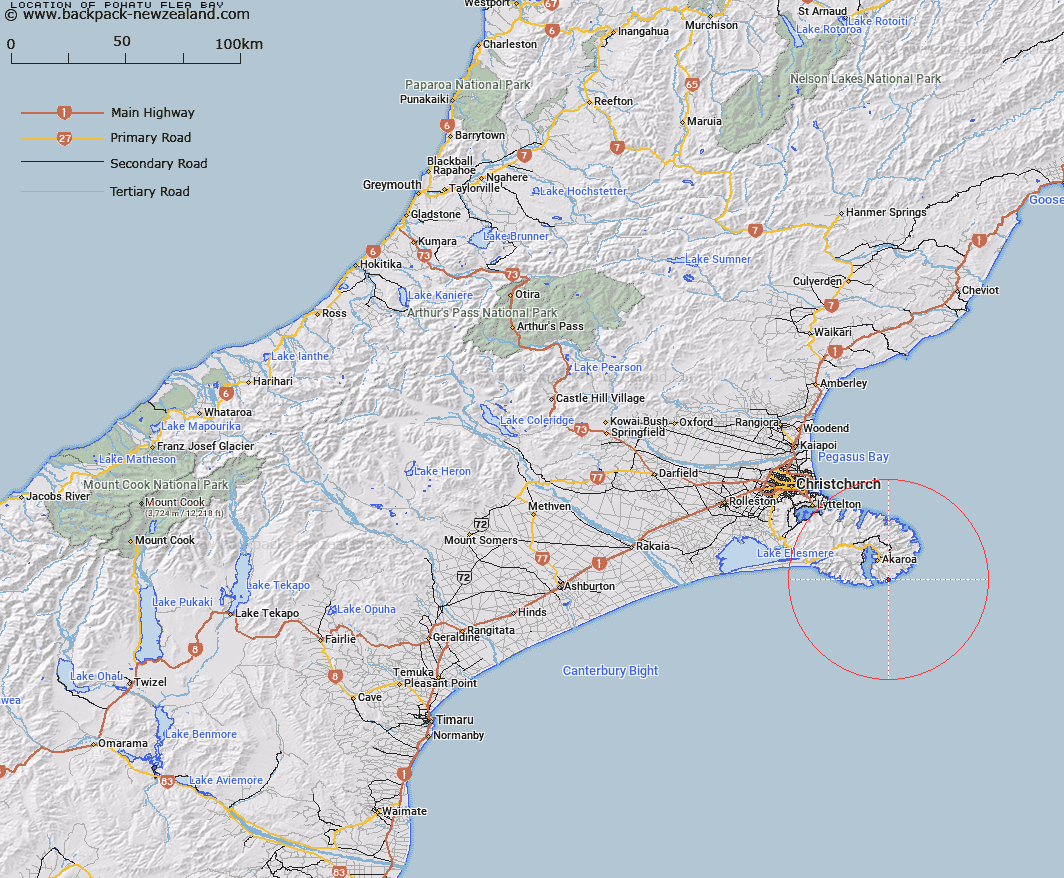
Map showing location of Pōhatu/Flea Bay


LINZ description: Bay located approximately 5 km east north-east of the entrance to Akaroa Harbour
Latitude: -43.875094
Longitude: 173.011202
Northing: 5142000
Easting: 1600900
Land District: Canterbury
Feat Type: Bay


Scroll down to see a more detailed road map and below that a topographical map showing the location of Pōhatu/Flea Bay. The road map has been supplied by openstreetmap and the topographical map of Pōhatu/Flea Bay has been supplied by Land Information New Zealand (LINZ).

Yes you can use the top static map for you school/university project or personal website with a link back. Contact me for any commercial use.
Pōhatu/Flea Bay Map New Zealand


New Zealand places in our database
[ A ] [ B ] [ C ] [ D ] [ E ] [ F ] [ G ] [ H ] [ I ] [ J ] [ K ] [ L ] [ M ] [ N ] [ O ] [ P ] [ Q ] [ R ] [ S ] [ T ] [ U ] [ V ] [ W ] [ X ] [ Y ] [ Z ]


Closest 20 Bays to Pōhatu/Flea Bay

Island Nook ( 1.1km )   Damons Bay ( 1.57km )   Redcliffe Nook ( 2.23km )   The Amphitheatre ( 2.54km )   Haylocks Bay ( 2.84km )   Stony Bay ( 3.32km )   Reef Nook ( 3.97km )   Sleepy Bay ( 4.64km )   Otanerito Bay ( 5.38km )   Waihuakina Bay ( 5.8km )   Red Bay ( 7.2km )   Lucas Bay ( 7.3km )   Shell Bay ( 7.44km )   Titoki or Little Tikao Bay ( 7.85km )   Fishermans Bay ( 8.05km )   Scenery Nook ( 8.08km )   Mat White Bay ( 8.26km )   Mat Wight Bay ( 8.26km )   Squally Bay ( 8.27km )   Glen Bay ( 8.33km )   French Bay ( 8.66km )   Paua Bay ( 9.03km )   Childrens Bay ( 9.14km )   Ohinepaka Bay ( 9.24km )   Rocky Nook ( 9.52km )   Anchorage Bay ( 10.02km )   Goughs Bay ( 10.48km )   Akaroa Harbour ( 10.88km )   Lushington Bay ( 11.03km )   Tikao Bay ( 11.15km )   Whakamoa Bay ( 11.4km )   Takamatua Bay ( 11.61km )   Island Bay ( 11.8km )   Petit Carenage Bay ( 12.28km )   Long Bay ( 12.51km )   Robinsons Bay ( 12.84km )   French Farm Bay ( 13.35km )   Hickory Bay ( 13.47km )   Barrys Bay ( 14.3km )   Horseshoe Bay ( 14.36km )