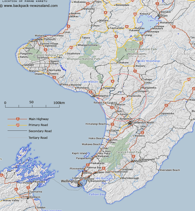
Map showing location of Pārae Karetu
LINZ description: Located along Mt Curl Road, approximately 10km south-west of Hunterville. Feature shown on: NZMS260 S22; NZTopo50 BL34-Hunterville, GR 126 740.
Latitude: -39.957524
Longitude: 175.48889
Northing: 5573990.7
Easting: 1812594.3
Land District: Wellington
Feat Type: Locality
Latitude: -39.957524
Longitude: 175.48889
Northing: 5573990.7
Easting: 1812594.3
Land District: Wellington
Feat Type: Locality

Scroll down to see a more detailed road map and below that a topographical map showing the location of Pārae Karetu. The road map has been supplied by openstreetmap and the topographical map of Pārae Karetu has been supplied by Land Information New Zealand (LINZ).
Yes you can use the top static map for you school/university project or personal website with a link back. Contact me for any commercial use.
[ A ] [ B ] [ C ] [ D ] [ E ] [ F ] [ G ] [ H ] [ I ] [ J ] [ K ] [ L ] [ M ] [ N ] [ O ] [ P ] [ Q ] [ R ] [ S ] [ T ] [ U ] [ V ] [ W ] [ X ] [ Y ] [ Z ]