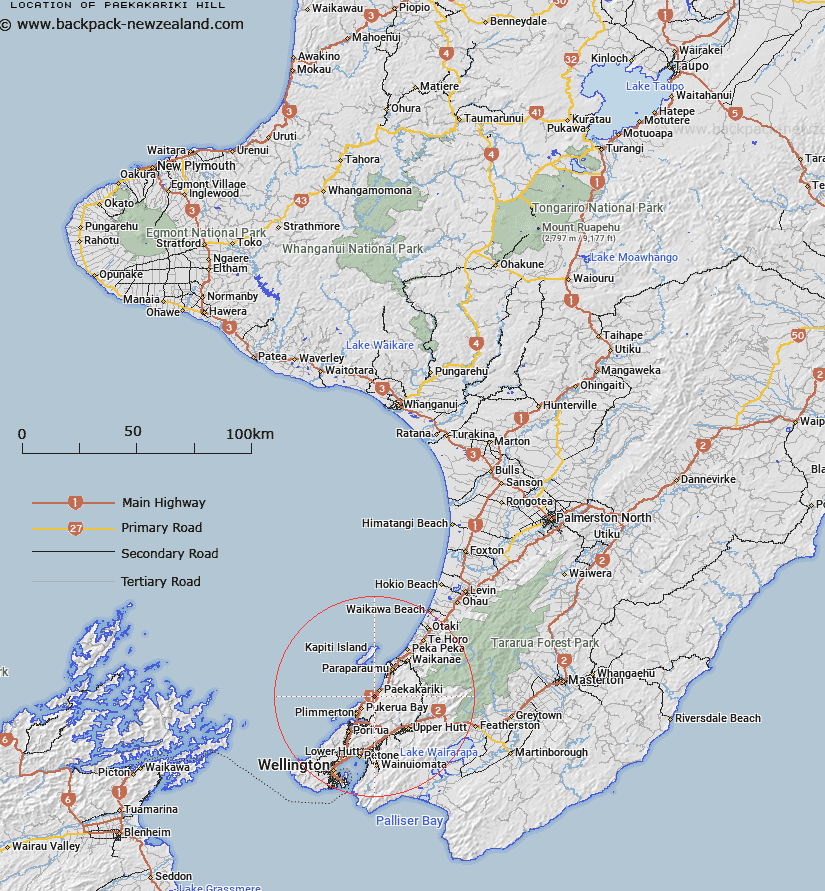
Map showing location of Paekākāriki Hill
LINZ description: Located along the northern boundary of Paekākāriki Hill locality, height 274m. NZTopo50 BP32-Paraparaumu GR 628 587. Geodetic mark, coded A2FP, named “Paekakariki”, beaconed, is located at the summit. Assigning a new name for an unnamed feature.
Latitude: -41.006691
Longitude: 174.935971
Northing: 5458695
Easting: 1762806
Land District: Wellington
Feat Type: Hill
Latitude: -41.006691
Longitude: 174.935971
Northing: 5458695
Easting: 1762806
Land District: Wellington
Feat Type: Hill

Scroll down to see a more detailed road map and below that a topographical map showing the location of Paekākāriki Hill. The road map has been supplied by openstreetmap and the topographical map of Paekākāriki Hill has been supplied by Land Information New Zealand (LINZ).
Yes you can use the top static map for you school/university project or personal website with a link back. Contact me for any commercial use.
[ A ] [ B ] [ C ] [ D ] [ E ] [ F ] [ G ] [ H ] [ I ] [ J ] [ K ] [ L ] [ M ] [ N ] [ O ] [ P ] [ Q ] [ R ] [ S ] [ T ] [ U ] [ V ] [ W ] [ X ] [ Y ] [ Z ]