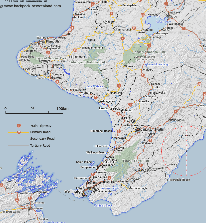
Map showing location of Owahanga Hill
LINZ description: A maunga at height 225m, located on the north bank of the mouth of Owahanga River, with a geodetic mark coded A3N4 at its summit. Feature shown on: NZMS260 U25 Edition 1 1979; NZTopo50-BN37 844932
Latitude: -40.663583
Longitude: 176.364333
Northing: 5493143
Easting: 1884404.3
Land District: Wellington
Feat Type: Hill
Latitude: -40.663583
Longitude: 176.364333
Northing: 5493143
Easting: 1884404.3
Land District: Wellington
Feat Type: Hill

Scroll down to see a more detailed road map and below that a topographical map showing the location of Owahanga Hill. The road map has been supplied by openstreetmap and the topographical map of Owahanga Hill has been supplied by Land Information New Zealand (LINZ).
Yes you can use the top static map for you school/university project or personal website with a link back. Contact me for any commercial use.
[ A ] [ B ] [ C ] [ D ] [ E ] [ F ] [ G ] [ H ] [ I ] [ J ] [ K ] [ L ] [ M ] [ N ] [ O ] [ P ] [ Q ] [ R ] [ S ] [ T ] [ U ] [ V ] [ W ] [ X ] [ Y ] [ Z ]