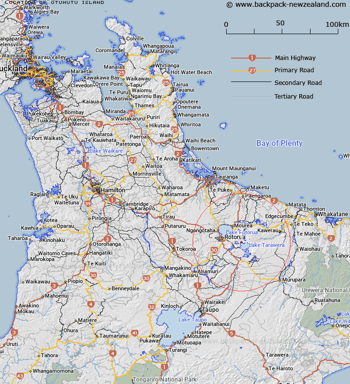
Map showing location of Otumutu Island


LINZ description: A small island near the northern shore of Lake Tarawera and the northern extent of Te Karamea Bay. Feature shown on: NZMS260 U16 Edition 1 1982; NZTopo50 BE37 979700
Latitude: -38.168528
Longitude: 176.400139
Northing: 5770020.5
Easting: 1897880.3
Land District: South Auckland
Feat Type: Island


Scroll down to see a more detailed road map and below that a topographical map showing the location of Otumutu Island. The road map has been supplied by openstreetmap and the topographical map of Otumutu Island has been supplied by Land Information New Zealand (LINZ).

Yes you can use the top static map for you school/university project or personal website with a link back. Contact me for any commercial use.

Otumutu Island Map New Zealand


New Zealand places in our database
[ A ] [ B ] [ C ] [ D ] [ E ] [ F ] [ G ] [ H ] [ I ] [ J ] [ K ] [ L ] [ M ] [ N ] [ O ] [ P ] [ Q ] [ R ] [ S ] [ T ] [ U ] [ V ] [ W ] [ X ] [ Y ] [ Z ]


Closest 20 Islands to Otumutu Island

Motuwhetero Island ( 3.05km )   Motutawa Island ( 9.7km )   Punaruku Island ( 10.19km )   Patiti Island (Banded Island) ( 11.54km )   Mokoia Island ( 13.93km )   Motumauri Island ( 15.44km )   Pateko Island ( 15.52km )   Motuohiwa Island ( 16.67km )   Hikurangi Island ( 52.37km )   Motuopuhi Island (Rat Island) ( 54.76km )   Tokata Island ( 55.54km )   Rurima Island ( 55.86km )   Moutoki Island ( 56.57km )   Taumaihi Island ( 57.24km )   Matarehua Island ( 57.67km )   Motuopae Island (Peach Island) ( 57.94km )   Motunau (Plate Island) ( 57.99km )   Plate Island ( 57.99km )   Matekuri Island ( 58.33km )   Motupatiki Island ( 59.38km )   Turitea Island ( 59.48km )   Motukahakaha Island ( 60.33km )   Motuhora ( 61.06km )   Moutohora Island ( 61.06km )   Motuputa Island ( 61.24km )   Motiti Island ( 61.79km )   Motuotau Island ( 62.43km )   Moturiki Island ( 62.64km )   Ohakana Island ( 62.82km )   Motuhaku Island (Schooner Rocks) ( 63.29km )   Rangiwaea Island ( 65.35km )   Motuhoa Island ( 65.39km )   Uretara Island ( 65.83km )   Hokianga Island ( 66.32km )   Motutangaroa Isle ( 66.4km )   Motuotu Island ( 66.49km )   Pataua Island ( 66.81km )   Patawa Island ( 66.81km )   Motungaio Island ( 66.81km )   Whangakopikopiko Island ( 68.06km )