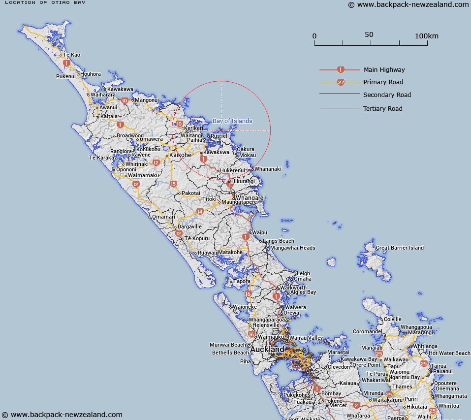
Map showing location of Otiao Bay


LINZ description: On the west coast of Oruapukapuka Island
Latitude: -35.212533
Longitude: 174.22504
Northing: 6102700
Easting: 1711500
Land District: North Auckland
Feat Type: Bay


Scroll down to see a more detailed road map and below that a topographical map showing the location of Otiao Bay. The road map has been supplied by openstreetmap and the topographical map of Otiao Bay has been supplied by Land Information New Zealand (LINZ).

Yes you can use the top static map for you school/university project or personal website with a link back. Contact me for any commercial use.

Otiao Bay Map New Zealand


New Zealand places in our database
[ A ] [ B ] [ C ] [ D ] [ E ] [ F ] [ G ] [ H ] [ I ] [ J ] [ K ] [ L ] [ M ] [ N ] [ O ] [ P ] [ Q ] [ R ] [ S ] [ T ] [ U ] [ V ] [ W ] [ X ] [ Y ] [ Z ]


Closest 20 Bays to Otiao Bay

Otiao Bay (Indico Bay) ( 0.32km )   Paradise Bay (Oneura Bay) ( 0.61km )   Otehei Bay ( 1.26km )   Urupukapuka Bay ( 1.52km )   Stockyard Bay ( 1.69km )   Kiekie Cove ( 1.82km )   Onepoto Bay ( 2.62km )   Awaawaroa Bay ( 2.77km )   Waiwhapuku Bay ( 2.92km )   Otupoho Bay ( 2.95km )   Kaimarama Bay ( 3km )   Taiharuru Bay ( 3.1km )   Hahangarua Bay ( 3.11km )   Omakiwi Cove ( 3.3km )   Hauai Bay ( 3.6km )   Oruruhoa Bay ( 3.6km )   Waipao Bay ( 3.8km )   Pareanui Bay ( 3.81km )   Parorenui Bay ( 3.88km )   Mangahawea Bay ( 3.92km )   Opourua Bay ( 3.93km )   Kaingahoa Bay ( 3.94km )   Oke Bay ( 4.06km )   Waipohutukawa Bay ( 4.17km )   Waiti Bay ( 4.18km )   Bay of Islands ( 4.19km )   Te Rawhiti Inlet ( 4.32km )   Parekura Bay ( 4.56km )   Wairaka Bay ( 4.57km )   Whiorau Bay ( 4.61km )   Putakokota Bay ( 4.65km )   Whapukapirau Bay ( 4.79km )   Huirangi Inlet ( 4.85km )   Waipiro Bay ( 5.11km )   Te Uenga Bay ( 5.2km )   Te Hue Bay ( 5.28km )   Orokawa Bay ( 5.29km )   Opunga Cove ( 5.33km )   Assassination Cove ( 5.46km )   Karerarera Bay ( 5.94km )