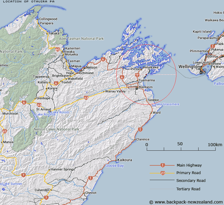
Map showing location of Otauira Pā
LINZ description: An historic pā on the shore of Waikutakuta / Robin Hood Bay south of Te Whanganui / Port Underwood approximately 9 km southeast of Picton. NZTopo50-BQ29 897212.
Latitude: -41.355739
Longitude: 174.072486
Northing: 5421196.5
Easting: 1689711.7
Land District: Marlborough
Feat Type: Site
Latitude: -41.355739
Longitude: 174.072486
Northing: 5421196.5
Easting: 1689711.7
Land District: Marlborough
Feat Type: Site

Scroll down to see a more detailed road map and below that a topographical map showing the location of Otauira Pā. The road map has been supplied by openstreetmap and the topographical map of Otauira Pā has been supplied by Land Information New Zealand (LINZ).
Yes you can use the top static map for you school/university project or personal website with a link back. Contact me for any commercial use.
[ A ] [ B ] [ C ] [ D ] [ E ] [ F ] [ G ] [ H ] [ I ] [ J ] [ K ] [ L ] [ M ] [ N ] [ O ] [ P ] [ Q ] [ R ] [ S ] [ T ] [ U ] [ V ] [ W ] [ X ] [ Y ] [ Z ]