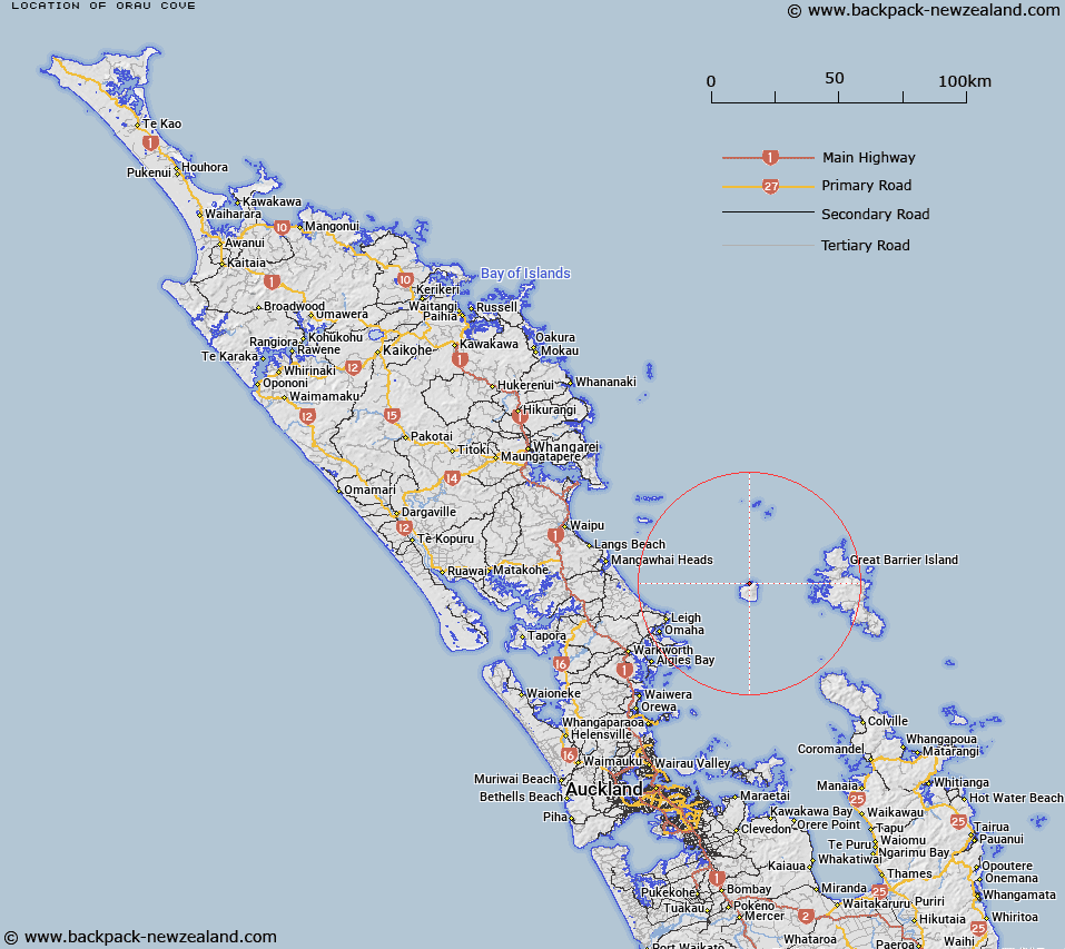
Map showing location of Orau Cove
LINZ description: Cove on north coast, south-west of Ngatamahine Point, Hauturu/Little Barrier Island.
Latitude: -36.173462
Longitude: 175.083706
Northing: 5994800
Easting: 1787400
Land District: North Auckland
Feat Type: Bay
Latitude: -36.173462
Longitude: 175.083706
Northing: 5994800
Easting: 1787400
Land District: North Auckland
Feat Type: Bay

Scroll down to see a more detailed road map and below that a topographical map showing the location of Orau Cove. The road map has been supplied by openstreetmap and the topographical map of Orau Cove has been supplied by Land Information New Zealand (LINZ).
Yes you can use the top static map for you school/university project or personal website with a link back. Contact me for any commercial use.
[ A ] [ B ] [ C ] [ D ] [ E ] [ F ] [ G ] [ H ] [ I ] [ J ] [ K ] [ L ] [ M ] [ N ] [ O ] [ P ] [ Q ] [ R ] [ S ] [ T ] [ U ] [ V ] [ W ] [ X ] [ Y ] [ Z ]