Map showing location of Opureke Stream


LINZ description: Feature shown on: NZMS260 V18 Edition 1 1987 Reprinted 1994
Latitude: -38.722639
Longitude: 176.88325
Northing: 5706838.5
Easting: 1937623
Land District: South Auckland
Feat Type: Stream
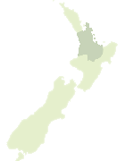

Scroll down to see a more detailed road map and below that a topographical map showing the location of Opureke Stream. The road map has been supplied by openstreetmap and the topographical map of Opureke Stream has been supplied by Land Information New Zealand (LINZ).

Yes you can use the top static map for you school/university project or personal website with a link back. Contact me for any commercial use.
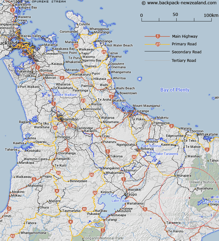
Opureke Stream Map New Zealand


New Zealand places in our database
[ A ] [ B ] [ C ] [ D ] [ E ] [ F ] [ G ] [ H ] [ I ] [ J ] [ K ] [ L ] [ M ] [ N ] [ O ] [ P ] [ Q ] [ R ] [ S ] [ T ] [ U ] [ V ] [ W ] [ X ] [ Y ] [ Z ]


Closest 20 Streams to Opureke Stream

Parahaki Stream ( 0.79km )   Te Totara Stream ( 1.69km )   Waituhi Stream ( 2.08km )   Te Niho Stream ( 2.51km )   Waipatukaka Stream ( 3.35km )   Omawake Stream ( 3.38km )   Motuhouhi Stream ( 3.51km )   Hukitawa Stream ( 3.52km )   Waiariki Stream ( 3.79km )   Kopuwaiu Stream ( 4.86km )   Waipurikuri Stream ( 5.07km )   Mimi Stream ( 5.13km )   Waihou Stream ( 5.24km )   Otangimoana Stream ( 5.53km )   Whakaraua Stream ( 5.79km )   Wairoa Stream ( 6.01km )   Ahiherua Stream ( 6.07km )   Te Reinga Stream ( 6.51km )   Opuhou Stream ( 6.53km )   Ngamoko Stream ( 6.57km )   Onehu Stream ( 6.8km )   Kaporangi Stream ( 6.93km )   Otawhao Stream ( 6.98km )   Parekura Stream ( 7.2km )   Whangatawhia Stream ( 7.22km )   Otarakauwhata Stream ( 7.24km )   Mangapae Stream ( 7.25km )   Totarapapa Stream ( 7.36km )   Te Tawa Stream ( 7.37km )   Whakahau Stream ( 7.64km )   Mimiha Stream ( 7.7km )   Mangaenuiohou River ( 7.95km )   Manganuiohou River ( 7.95km )   Patungaro Stream ( 7.99km )   Kaweka Stream ( 8.19km )   Kariri Stream ( 8.26km )   Ahititi Stream ( 8.27km )   Waihirere Stream ( 8.46km )   Koheke Stream ( 8.56km )   Mangamutu Stream ( 8.65km )